
Near Manassas in Prince William County, Virginia — The American South (Mid-Atlantic)
The Unfinished Railroad
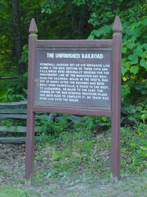
Photographed by J. J. Prats, June 10, 2006
1. The Unfinished Railroad Marker
Topics and series. This historical marker is listed in these topic lists: Railroads & Streetcars • War, US Civil. In addition, it is included in the Manassas Gap Railroad series list.
Location. 38° 49.543′ N, 77° 32.926′ W. Marker is near Manassas, Virginia, in Prince William County. It is at the intersection of Featherbed Lane and General Trimbles Lane (a private road), on the left when traveling south on Featherbed Lane.
this page online

Regionally, this marker is in the Washington Metropolitan Area, in Northern Virginia, and in the Piedmont. It is also in the American South, specifically in the Upper South, in the Mid-Atlantic, and on the Eastern Seaboard. Globally, it is in the North Atlantic Region, North America, the Western Hemisphere, the Western World, and the Anglosphere. Historically, it finds itself in what was once the territory of the Mississippian Culture, one of the original Thirteen Colonies, one of the Confederate States of America, and the Antebellum South.
Other nearby markers. At least 5 other markers are within walking distance of this marker: Charge Bayonets! (a few steps from this marker); a different marker also named Unfinished Railroad (within shouting distance of this marker); a different marker also named The Unfinished Railroad
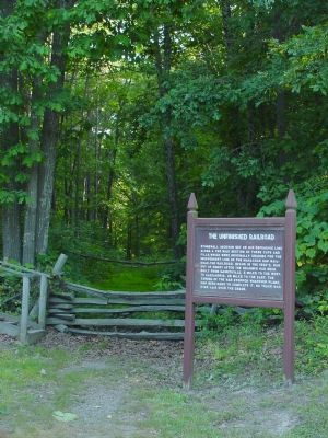
Photographed by J. J. Prats, June 10, 2006
2. The Unfinished Railroad Marker
Fence blocks the way on the railroad bed heading west.
More about this marker. The marker was relocated to the National Park Service's parking area on the other side of the road in 2008.
Also see . . .
1. Why Save More [Park] Lands?. “A solid stand of pine trees had grown up near the embankment of the unfinished railroad and obscured the clear view that had existed during Second Manassas.” (Submitted on November 3, 2006.)
2. The Unfinished Railroad, where it intersects the Groveton-Sudley Road. 1903 and 1999 photographs of this intersection. Compare with Photo No. 3. (The Groveton-Sudley Road is now Featherbed Lane.) (Submitted on November 3, 2006.)
3. The unfinished railroad cutting, 2nd Manassas. Photograph of the railroad bed. (Submitted on November 3, 2006.)
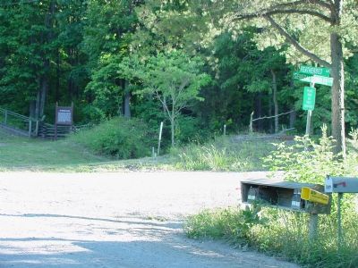
Photographed by J. J. Prats, June 10, 2006
3. The Unfinished Railroad Marker In the Distance
Marker can be seen in front of the stairway leading up to a walking path. Fetherbed Lane, a gravel road, runs diagonally across the photograph from bottom to left, north to south. General Trimbles Lane starts on the right.
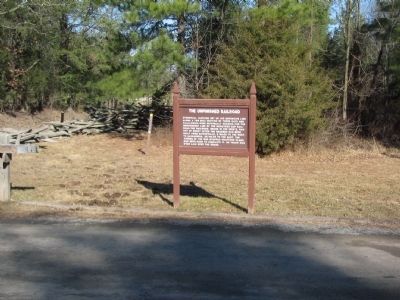
Photographed by Craig Swain, February 15, 2009
4. New Location
Note the park gate on the left.
Photographed by Craig Swain, February 15, 2009
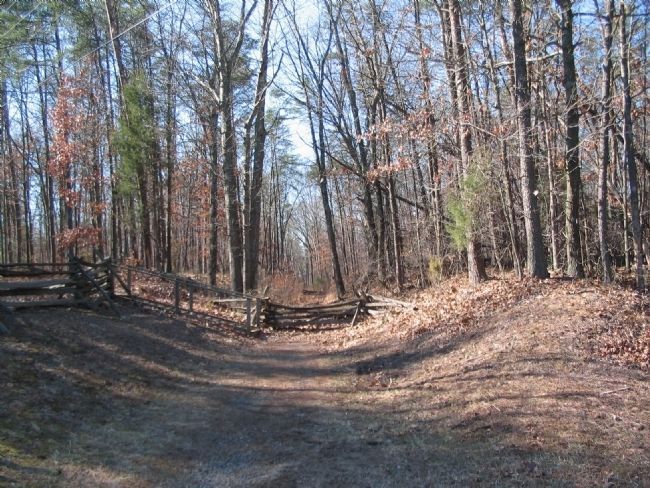
5. The Unfinished Railroad
Looking at the location where the marker stood until recently. The "cut" beyond the fence is the railroad bed that was under construction when the war broke out. The railroad grade traverses the entire northern half of Manassas Battlefield.
Photographed by Craig Swain, February 15, 2009
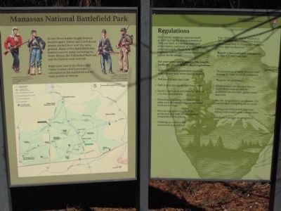
6. Park Orientation Kiosk
Next to the marker is one of the Manassas Battlefield orientation kiosks, showing a map of the battlefield and explaining some of the park regulations.
Credits. This page was last revised on April 26, 2021. It was originally submitted on November 3, 2006, by J. J. Prats of Powell, Ohio. This page has been viewed 2,723 times since then and 18 times this year. Photos: 1, 2, 3. submitted on November 3, 2006, by J. J. Prats of Powell, Ohio. 4, 5, 6. submitted on April 27, 2009, by Craig Swain of Leesburg, Virginia.
