Lewiston in Niagara County, New York — The American Northeast (Mid-Atlantic)
The Cradles
British military engineering eases the ascent from the river to the top of the Escarpment.
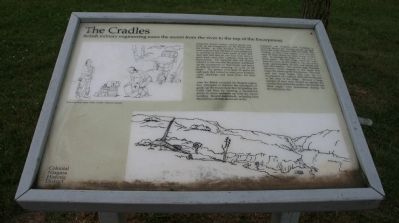
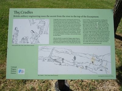
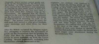
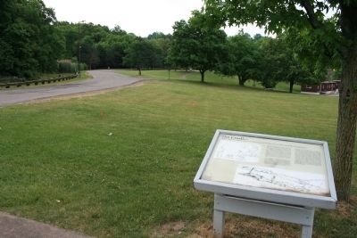
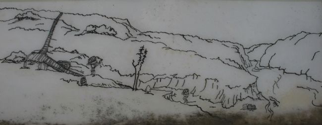
After the British occupied the Niagara region they attempted to improve the movement of goods up the Escarpment first by grading the Gully and then by creating a mechanical device to move materials up from the Lower Landing. Several individuals, including John Montressor, a British lieutenant of the engineers, are credited with building a carrying device for moving goods up and down the Gully between 1762 and 1764. The Cradles, as they were called, were actually carts or sleds drawn by ropes along wooden rails. To manage the slope, the rails were in three stages. The first stage raised the carts from the river up the Gully to the top of the bank, approximately 50 feet, and terminated near this marker. The second stage changed direction ninety degrees to the south and began the ascent up the Escarpment. The third and last stage began half way up the Escarpment, on a natural shelf and terminated at the crest of the ridge. Because a large number of men were needed to operate the winches that pulled the cradles, the second and third stages were abandoned during the Revolutionary War.
Topics. This historical marker is listed in these topic lists: Colonial Era • Industry & Commerce • Native Americans • Roads & Vehicles. A significant historical year for this entry is 1750.
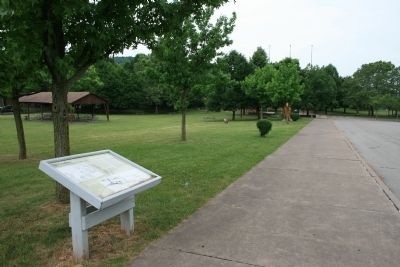
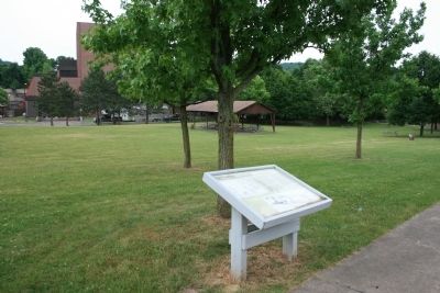
Location. 43° 9.997′ N, 79° 2.721′ W. Marker is in Lewiston, New York, in Niagara County. Marker can be reached from South 4th Street south of Tuscarora Street. This historical marker is located on the grounds of the Earl W. Brydges Artpark. To get to this historic marker one must take South 4th Street south all the way to where the road ends, at the entrance to the Earl W. Brydges Artpark. The historic marker is on the grounds of the artpark, on a section of land just south of the first large parking area. Touch for map. Marker is in this post office area: Lewiston NY 14092, United States of America. Touch for directions.
Other nearby markers. At least 8 other markers are within walking distance of this marker. The Lower Landing (within shouting distance of this marker); Lewiston Mound (within shouting distance of this marker); a different marker also named The Lewiston Mound
(within shouting distance of this marker); Welcome to Earl W. Brydges Artpark State Park (about 300 feet away, measured in a direct line); Oak Hill and Scovell Knoll (about 300 feet away); Lower Landing Archeological District (about 300 feet away); The Magazin Royale (about 300 feet away); Fort Joncaire (about 300 feet away). Touch for a list and map of all markers in Lewiston.
Also see . . .
1. The British Settlement in Niagara. This is a link to information provided by the Niagara Falls Info website. (Submitted on June 27, 2013, by Dale K. Benington of Toledo, Ohio.)
2. Cradles Placemat - Historic Lewiston, NY. This is a link to information provided by The Historical Association of Lewiston. (Submitted on June 27, 2013, by Dale K. Benington of Toledo, Ohio.)
Photographed By Dale K. Benington, June 11, 2012
5. The Cradles Marker
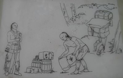
Close-up view of the illustration displayed on the historical marker, showing goods being carried from the Lower Landing to the first Cradle, and then making a ninety degree turn at the base of the second Cradle that worked its way higher up the escarpment.
Credits. This page was last revised on June 16, 2016. It was originally submitted on June 27, 2013, by Dale K. Benington of Toledo, Ohio. This page has been viewed 549 times since then and 20 times this year. Photos: 1. submitted on June 27, 2013, by Dale K. Benington of Toledo, Ohio. 2. submitted on May 30, 2016, by Anton Schwarzmueller of Wilson, New York. 3, 4, 5, 6, 7, 8. submitted on June 27, 2013, by Dale K. Benington of Toledo, Ohio.
