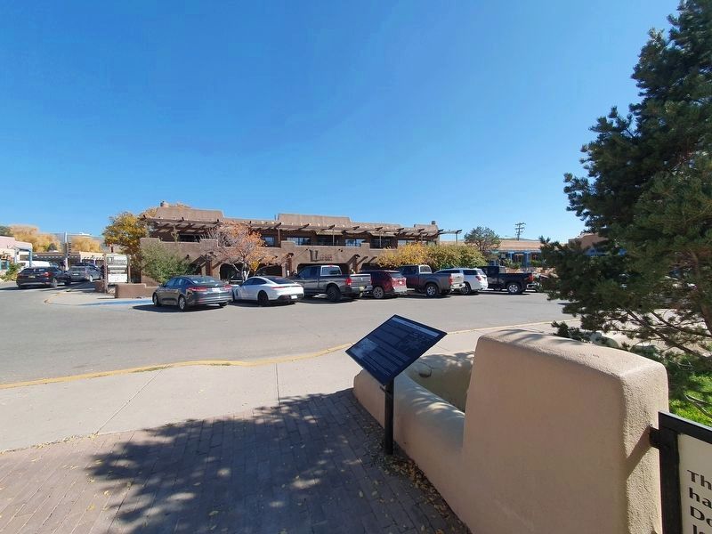
Taos in Taos County, New Mexico — The American Mountains (Southwest)
Historic Taos
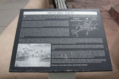
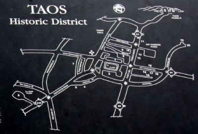
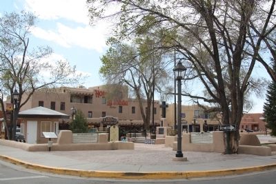
Welcome visitors and Taosenos! You are invited to explore the diversity of this region through a self-guided tour. The two-hundred- year-old Taos Plaza, including the streets that radiate from it like spokes, forms the National Historic District of Taos. A number of national and state landmarks, which are located in the district, are testimonials to the rich and complex cultural history of Taos.
The Taos Valley has been a major trade and travel route since human presence was first felt in the area. Archeological evidence suggests that people have been using and moving through the Taos Valley for at least the past 9,000 years. The ancestors of the Pueblo people, commonly known as the Anasazi, were the first permanent inhabitants of the Valley. Room blocks and pit houses in the Taos area testify to their presence since 900 AD. Around 1200 AD, the Anasazi aggregated into small, above-ground structures of 50 to 100 rooms. The Taos Pueblo was constructed around 1450 AD as a multi-story complex. The Pueblo Indians depended upon nature for their survival, and therefore, treated nature as an organizing element in their lives.
At the time of the arrival of the Europeans, all of Taos Valley was in the domain of Taos Pueblo Indians. In 1540, a Spanish conquistador named Francisco De Coronado led an expedition into New Mexico, looking for gold and silver. After experiencing much resistance from the Pueblos of the region, no further expeditions were authorized until 1598, when Don Juan de Onate established a colonial capital at the current San Juan Pueblo. During the 1600s, the Spanish strengthened their control in the Taos Valley and settled in large plantations bordering the Rio Grand River. For many years, battles and revolts existed between the two clashing cultures. The Spanish were driven out of Taos at one point, and the resettlement and reestablishment of Spanish civil government in the Taos Valley did not occur again until 1715. After that time, Spanish focus shifted from acquisition and exploitation to permanent settlement.
With this new focus, Hispano settlers interacted extensively with the Pueblo and other Indian neighbors. The three groups engaged in trading, both informally and through trade fairs. Hispanos brought many new types of fruits and vegetables into the Taos Valley; they also introduced livestock to the Pueblos. They took over and expanded abandoned Pueblo irrigation systems and renamed them acequias, an Arabic word meaning irrigation ditch. The Pueblos taught the Hispanos to build with mud and timber and adopted the Hispanos’ adobe brick molds and “horno” ovens brought from Spain. The land grant system, initiated by the Spanish, blended with the Pueblo tradition and evolved into the current style of the central plaza and the surrounding buildings and churches, for which the Taos Valley is now known.
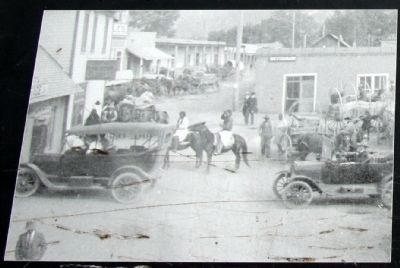
After periods of Mexican rule, the area was claimed as a territory for the United States in 1846. President Fillmore established New Mexico as an official territory in 1850, and Taos became a county in 1852. The Taos Valley flourished during this period, and other cultures found their way into the territory. Taos was a very solid trade center for the region.
In 1898, two young artists from the East, named Ernest Blumenshein and Bert Phillips, discovered the Valley after their wagon broke down north of Taos. They decide to stay, captivated by the beauty of the area. As word of their discovery spread throughout the art community, they were joined by other associates. In 1915, six artists formed the Taos Society of Artists. Soon other intellectuals such as Mabel Dodge Luhan and D.H. Lawrence, joined the Taos scene, adding greatly to the social and intellectual life of the community. To date, Taos is known world-wide by artists, art patrons, and inquisitive minds who continue to find a mecca of inspiration here.
The history of Taos is a story of change, adaptation, and the integration of three cultures that both complicate and enrich the reality in which Taosenos live today. You are invited to explore a small part of this rich history and culture with the Taos Historic District’s self-guided tour. The map and brochures will assist you in your journey.
Welcome to Taos, Bien Venidos, and Na-Tah-La-Wamah.
Topics and series. This historical marker is listed in these topic lists: Arts, Letters, Music • Colonial Era • Native Americans • Settlements & Settlers. In addition, it is included in the Former U.S. Presidents: #13 Millard Fillmore series list. A significant historical year for this entry is 1200.
Location. 36° 24.429′ N, 105° 34.449′ W. Marker is in Taos, New Mexico, in Taos County. Marker is at the intersection of North Plaza and South Plaza, on the left when traveling west on North Plaza. It is at the entrance to the plaza, on the left. Touch for map. Marker is in this post office area: Taos NM 87571, United States of America. Touch for directions.
Other nearby markers. At least 8 other markers are within walking distance of this marker. Don Fernando de Taos (here, next to this marker); Historic Taos Plaza (a few steps from this marker); Veterans Memorial (a few steps from this marker); Battle of Bataan Memorial (a few steps from this marker); Don Fernando de Taos Plaza (within shouting distance of this marker); Padre Antonio José Martínez (within shouting distance of this marker); Hotel La Fonda de Taos (within shouting distance of this marker); Kit Carson Road (about 300 feet away, measured in a direct line). Touch for a list and map of all markers in Taos.
Also see . . .
Historic Taos Walking Tour Brochure. Taos Vacation Guide PDF (Submitted on July 13, 2013.)
Credits. This page was last revised on November 21, 2023. It was originally submitted on July 13, 2013, by J. J. Prats of Powell, Ohio. This page has been viewed 824 times since then and 21 times this year. Photos: 1, 2, 3, 4. submitted on July 13, 2013, by J. J. Prats of Powell, Ohio. 5. submitted on November 21, 2023, by J. Makali Bruton of Accra, Ghana.
