Near Chemung in Chemung County, New York — The American Northeast (Mid-Atlantic)
Battle of Chemung
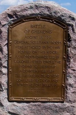
Photographed by Forest McDermott, July 19, 2013
1. Battle of Chemung Marker
(Reverse Side)
Routes of the Armies of General John Sullivan and General James Clinton 1779
An expedition against the hostile Indian Nations which checked the aggressions of the English and Indians on the frontiers of New York and Pennsylvania extending westward the dominion of the United States.
Erected 1929 by State of New York.
Topics and series. This historical marker is listed in these topic lists: Indigenous Peoples and Communities • War, US Revolutionary • Wars, US Indian. In addition, it is included in the The Sullivan-Clinton Expedition Against the Iroquois Indians series list. A significant historical year for this entry is 1779.
Location. 42° 1.687′ N, 76° 41.275′ W. Marker is near Chemung, New York, in Chemung County. It is on County Route 60 west of Interstate 86, on the right when traveling east. Touch for map. Marker is at or near this postal address: 1547 County Road 60, Chemung NY 14825, United States of America. Touch for directions.

Regionally, this marker is in Upstate New York and in the Southern Tier. It is also in the American Northeast, in the Mid-Atlantic, in Appalachia, and specifically in Northern Appalachia. Globally, it is in North America, the Western Hemisphere, the Western World, and the Anglosphere. Historically, it finds itself in what was once New Netherland and also one of the original Thirteen Colonies.
Other nearby markers. At least 8 other markers are within 2 miles of this marker, measured as the crow flies: Rowland Montour (here, next to this marker); Soldiers of the American Revolution (approx. 0.6 miles
this page online
Additional commentary.
1.
The marker states it was erected in 1929, but it appeared that the marker was only placed here recently and the plaques were polished. I am guessing the marker was moved to this location due to the recent construction of Interstate 86 and realignment of the local roads.
— Submitted July 23, 2013, by Forest McDermott of Masontown, Pennsylvania.
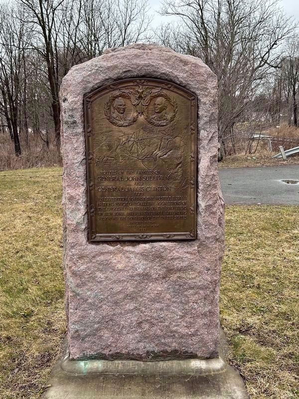
Photographed by Susan A. Dalaba, March 3, 2024
2. Rowland Montour Marker Reverse Side
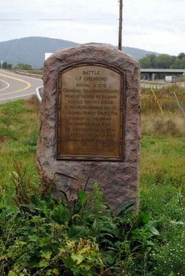
Photographed by Brian Scott, September 21, 2015
3. Battle of Chemung Monument
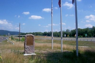
Photographed by Forest McDermott, July 19, 2013
4. Battle of Chemung Marker
Interstate 86 or Route 17 is on the right of the photo.
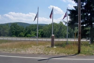
Photographed by Forest McDermott, July 19, 2013
5. Battle of Chemung Marker
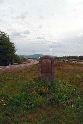
Photographed by Brian Scott, September 21, 2015
6. Battle of Chemung Monument
Credits. This page was last revised on September 20, 2024. It was originally submitted on July 23, 2013, by Forest McDermott of Masontown, Pennsylvania. This page has been viewed 1,504 times since then and 65 times this year. Photos: 1. submitted on July 23, 2013, by Forest McDermott of Masontown, Pennsylvania. 2. submitted on March 5, 2024, by Susan A. Dalaba of Cortland, New York. 3. submitted on November 6, 2015, by Brian Scott of Anderson, South Carolina. 4, 5. submitted on July 23, 2013, by Forest McDermott of Masontown, Pennsylvania. 6. submitted on November 6, 2015, by Brian Scott of Anderson, South Carolina. • Bill Pfingsten was the editor who published this page.
