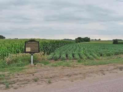
Near Sleepy Eye in Brown County, Minnesota — The American Midwest (Upper Plains)
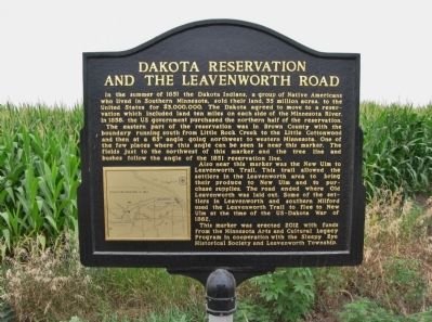
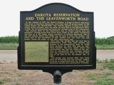
Dakota Reservation and the Leavenworth Road
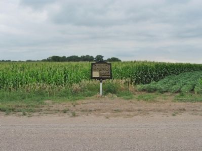
The eastern part of the reservation was in Brown County with the boundary running south from Little Rock Creek to the Little Cottonwood and then at a 65° angle going northwest to western Minnesota. One of the few places where this angle can be seen is near this marker. The fields just to the northwest of this marker and the tree line and bushes follow the angle of the 1851 reservation line.
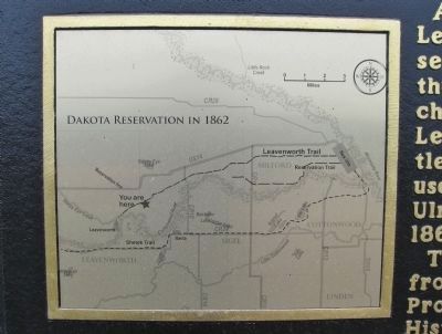
Also near this marker was the New Ulm to Leavenworth Trail. This trail allowed the settlers in the Leavenworth area to bring their produce to New Ulm and to purchase supplies. The road ended where Old Leavenworth was laid out. Some of the settlers in Leavenworth and southern Milford used the Leavenworth Trail to flee to New Ulm at the time of the US–Dakota War of 1862.
This marker was erected 2012 with funds from the Minnesota Arts and Cultural Legacy Program in cooperation with the Sleepy Eye Historical Society and Leavenworth Township.
Erected 2012 by the Sleepy Eye Historical Society and Leavenworth Township.
Topics. This historical marker is listed in these topic lists: Native Americans • Roads & Vehicles • Wars, US Indian. A significant historical year for this entry is 1851.
Location. 44° 16.164′ N, 94° 44.76′ W. Marker is near Sleepy Eye, Minnesota, in Brown County. Marker is on 280th Avenue, one mile south of U.S. 14, on the right when traveling south. Marker is 450 feet north of 210th Street on 280th Avenue. Touch for map. Marker is in this post office area: Sleepy Eye MN 56085, United States of America. Touch for directions.
Other nearby markers. At least 8 other markers are within 8 miles of this marker, measured as the crow flies. Veterans Memorial (approx. 2.2 miles away); Chief Sleepy Eyes (approx. 2.3 miles away); Iberia (approx. 3.3 miles away); Jackson Crossing (approx. 4.1 miles away); Leavenworth (approx. 4.3 miles away); The Attack on the Brown Family (approx. 5.2 miles away); Cobden (approx. 5.3 miles away); Evan (approx. 7˝ miles away). Touch for a list and map of all markers in Sleepy Eye.
Additional keywords. Reservation Trail; Shetek Trail
Credits. This page was last revised on October 21, 2020. It was originally submitted on August 22, 2013, by Keith L of Wisconsin Rapids, Wisconsin. This page has been viewed 850 times since then and 55 times this year. Photos: 1, 2, 3, 4, 5. submitted on August 22, 2013, by Keith L of Wisconsin Rapids, Wisconsin.
