Near Chattanooga in Hamilton County, Tennessee — The American South (East South Central)
Attack at Suck Creek
Union Supply Choke Point
| — | Chattanooga Campaign | — |
Photographed by Dale K. Benington, September 24, 2013
1. Attack at Suck Creek Marker
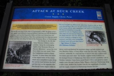
During the early days of the siege of Chattanooga in 1863, the Union army's only supply route followed a long and difficult road that ran from Bridgeport, Alabama, north up the Sequatchie Valley and then east behind you over Walden's Ridge on the Anderson Pike. The road descended the ridge just north of here and then ran along the bank of the Tennessee River to Chattanooga.
On October 8, the 4th Alabama Volunteer Infantry took a position "along the overhanging bluffs of the Tennessee River on Raccoon Mountain," across the river
this page online
Erected by Tennessee Civil War Trails.
Topics. This historical marker is listed in this topic list: War, US Civil. A significant historical month for this entry is September 1863.
Location. 35° 6.561′ N, 85° 21.888′ W. Marker is near Chattanooga,
Photographed by Dale K. Benington, September 24, 2013
2. Attack at Suck Creek Marker
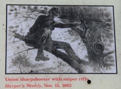
A view of the illustration displayed on the historical marker showing a Union sharpshooter.

Regionally, this marker is in the American South, specifically in the Upper South, in Appalachia, and specifically in Southern Appalachia. Globally, it is in North America, the Western Hemisphere, the Western World, and the Anglosphere. Historically, it finds itself in what was once the original Cherokee Nation, the territory of the Mississippian Culture, one of the Confederate States of America, and the Antebellum South.
Other nearby markers. At least 8 other markers are within 4 miles of this marker, measured as the crow flies: Civil War Signaling (approx. 0.7 miles away); Boats on the Tennessee (approx. 0.7 miles away); Charles H. Coolidge (approx. 1.2 miles away); a different marker also named
Photographed by Dale K. Benington, September 24, 2013
3. Attack at Suck Creek Marker
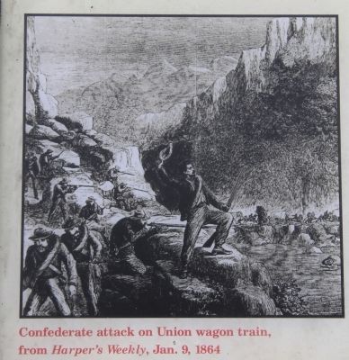
A view of the illustration displayed on the historical marker showing the Confederate attack on the Union wagon train.
Other markers no longer nearby. Williams' Island (was approx. 2.7 miles away but has been confirmed missing); Stringer's Ridge (was approx. 3½ miles away but has been confirmed missing).
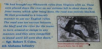
Regarding Attack at Suck Creek. The text of the historical marker includes the following quote from a Sgt. Robert T. Coles of the 4th Alabama Infantry: "We had brought our Whitworth rifles from Virginia with us. These were placed down the river on our extreme left to shoot down the front teams, which after being done, the road was entirely blocked. We then proceeded in a leisurely manner to use our English rifles. The road was too narrow between the bluff and the river for the teams to turn around or escape in any manner, and they were compelled to stand until all were shot down."
Photographed by Dale K. Benington, September 24, 2013
4. Attack at Suck Creek Marker
Close-up view of the text from the historical marker displaying the quote from Sgt. Robert T. Coles regarding the attack on the Union supply wagons.
Photographed by Dale K. Benington, September 24, 2013
5. Attack at Suck Creek Marker
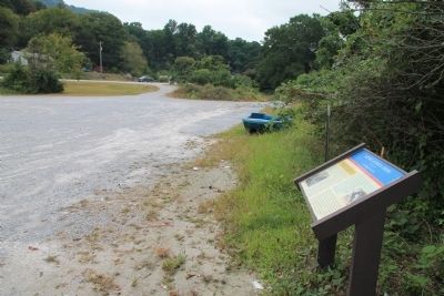
View of the historical marker, looking south, across the Tennessee River public access parking lot, towards the Suck Creek Road entrance roadway.
Photographed by Dale K. Benington, September 24, 2013
6. Attack at Suck Creek Marker
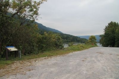
View of the historical marker looking across the parking lot towards the boat ramp that provides public access to the Tennessee River.
Photographed by Dale K. Benington, September 24, 2013
7. Tennessee Civil War Trails Marker
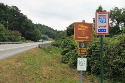
View of the roadway sign that indicates the location of a Tennessee Civil War Trails marker, along the side of Suck Creek Road.
Photographed by Dale K. Benington, September 24, 2013
8. Attack at Suck Creek Marker
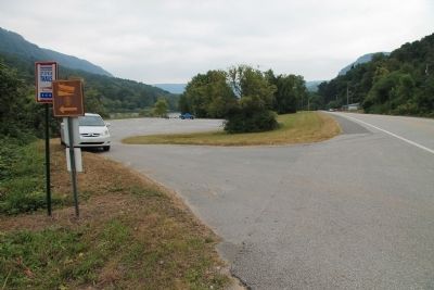
View, looking north along Suck Creek Road, of the roadway sign that indicates the location of a Tennessee Civil War Trails marker, down by the public access parking lot.
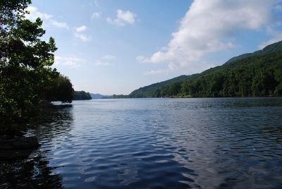
Photographed by Brandon Fletcher, July 29, 2010
9. Tennessee River next to the Marker
Tennessee River flowing SE toward Chattanooga
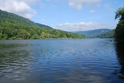
Photographed by Brandon Fletcher, July 29, 2010
10. Tennessee River next to the Marker
Looking NW where Tennessee flows away from Chattanooga.
Credits. This page was last revised on June 16, 2016. It was originally submitted on September 27, 2013, by Dale K. Benington of Toledo, Ohio. This page has been viewed 2,636 times since then and 93 times this year. Photos: 1, 2, 3, 4, 5, 6, 7, 8. submitted on September 27, 2013, by Dale K. Benington of Toledo, Ohio. 9, 10. submitted on August 9, 2015, by Brandon Fletcher of Chattanooga, Tennessee.
