Greater South River City in Austin in Travis County, Texas — The American South (West South Central)
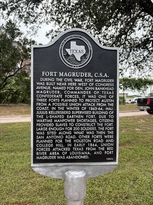
Fort Magruder, C.S.A
Photographed by Texas Marker Rescue, May 16, 2026
1. Fort Magruder, C.S.A Marker
Cleaned and restored by Texas Marker Rescue
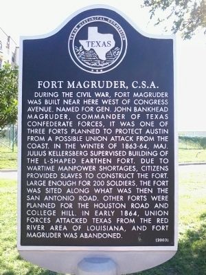
During the Civil War, Fort Magruder was built near here west of Congress Avenue. Named for Gen. John Bankhead Magruder, commander of Texas Confederate forces, it was one of three forts planned to protect Austin from a possible Union attack from the coast. In the winter of 1863-64, Maj. Julius Kellersberg supervised building of the L-shaped earthen fort. Due to wartime manpower shortages, citizens provided slaves to construct the fort. Large enough for 200 soldiers, the fort was sited along what was then the San Antonio Road. Other forts were planned for the Houston Road and College Hill. In early 1864, Union forces attacked Texas from the Red River area of Louisiana, and Fort Magruder was abandoned.
Erected 2003 by Texas Historical Commission. (Marker Number 13159.)
Topics. This historical marker is listed in these topic lists: Forts and Castles • Roads & Vehicles • War, US Civil. A significant historical year for this entry is 1864.
Location. 30° 13.511′ N, 97° 45.756′ W. Marker is in Austin, Texas, in Travis County. It is in Greater South River City. It is at the intersection of South Congress Avenue and
this page online

Regionally, this marker is in Central Texas. It is also in the American South. Globally, it is in North America, a Gulf of Mexico state, the Western Hemisphere, the Western World, and the Anglosphere. Historically, it finds itself in what was once New Spain, the Republic of Texas, one of the Confederate States of America, and the Antebellum South.
Other nearby markers. At least 8 other markers are within 2 miles of this marker, measured as the crow flies: Saint Edward’s University Main Building (approx. 0.6 miles away); Approximate Site Reached by the Espinosa-Olivares-Aguirre Expedition (approx. 0.6 miles away); The Original Skyline Club Sign (approx. ¾ mile away); Doyle Farm (approx. 0.8 miles away); Walter Tips House (approx. 1.1 miles away); Green Pastures (approx. 1.4 miles away); Reuter House (approx. 1½ miles away); Walter and Mae Simms House (approx. 1.6 miles away). Touch for a list and map of
Photographed by Richard Denney, October 6, 2013
2. Fort Magruder, C.S.A Marker
Photographed by Richard Denney, October 6, 2013
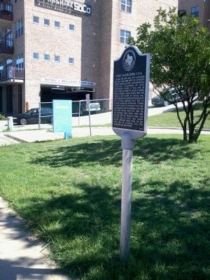
3. Fort Magruder, C.S.A Marker
Photographed by Richard Denney, October 6, 2013
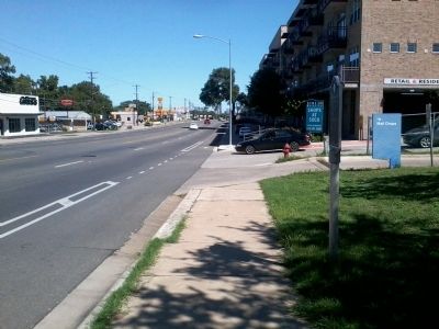
4. Fort Magruder, C.S.A Marker
Credits. This page was last revised on August 10, 2026. It was originally submitted on October 6, 2013, by Richard Denney of Austin, Texas. This page has been viewed 2,120 times since then and 135 times this year. Photos: 1. submitted on August 10, 2026, by Texas Marker Rescue of Austin, Texas. 2, 3, 4. submitted on October 6, 2013, by Richard Denney of Austin, Texas. • Bernard Fisher was the editor who published this page.
