Murfreesboro in Rutherford County, Tennessee — The American South (East South Central)
Evergreen Cemetery
Confederate Circle
Photographed by Don Morfe, July 26, 2013
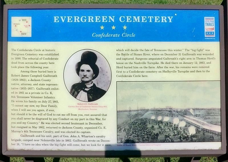
1. Evergreen Cemetery Marker
The Confederate Circle at historic Evergreen Cemetery was established in 1890. The reburial of Confederate dead from across the county here took place the following year.
Among those buried here is Robert James Campbell Gailbreath (1829–1863), a Jackson County native, attorney, and state representative (1855–1857). Gailbreath enlisted in 1861 as a private in Co. K, 8th Tennessee Volunteer Infantry. He wrote his family on July 27, 1861, “I cannot say now, my Dear Family, when I will see you again, if ever, but should it be the will of God to cut me off from you, rest assured that you shall never be disgraced by any Conduct on my part in this War, for you and my Country.” He was elected second lieutenant in December, but resigned in May 1862, returned to Jackson County, organized Co. E, Murray’s 4th Tennessee Cavalry, and was elected its captain.
Gailbreath and his unit, part of Gen. John A. Wharton’s cavalry brigade, camped near Nolensville late in 1862. Gailbreath wrote on December 18, “I have no idea when the big fight will come, but we look for it soon, which will decide the fate of Tennessee this winter.” The
this page online
Erected by Tennessee Civil War Trails.
Topics and series. This historical marker is listed in these topic lists: Cemeteries & Burial Sites • War, US Civil. In addition, it is included in the Sons of Confederate Veterans/United Confederate Veterans, and the Tennessee Civil War Trails series lists. A significant historical month for this entry is January 1953.
Location. 35° 51.076′ N, 86° 22.856′ W. Marker is in Murfreesboro, Tennessee, in Rutherford County. It is at the intersection of Greenland Drive and North University Street, on the right when traveling west on Greenland Drive. The marker stands in Evergreen Cemetery. Touch for map. Marker is at or near this postal address: 524 Greenland Dr, Murfreesboro TN 37130, United States of America.
Photographed by Don Morfe, July 26, 2013
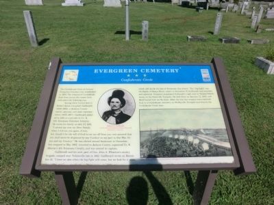
2. Evergreen Cemetery Marker

Regionally, this marker is in Middle Tennessee and in Greater Nashville. It is also in the American South and specifically in the Upper South. Globally, it is in North America, the Western Hemisphere, the Western World, and the Anglosphere. Historically, it finds itself in what was once the territory of the Mississippian Culture, one of the Confederate States of America, and the Antebellum South.
Other nearby markers. At least 8 other markers are within walking distance of this marker: The Confederate Circle at Evergreen (a few steps from this marker); Known Confederate Veterans Among 2000 Buried Here (within shouting distance of this marker); Rutherford Hospital / Middle Tennessee Medical Center (approx. 0.2 miles away); Agriculture and Gardening (approx. 0.3 miles away); Forrest’s Murfreesboro Raid (approx. 0.3 miles away); Wetland Plants and Animals (approx. 0.3 miles away); The Civil War (approx. 0.3 miles away); Oaklands Mansion (approx. 0.3 miles away). Touch for a list and map of all markers in Murfreesboro.
Photographed by Don Morfe, July 26, 2013
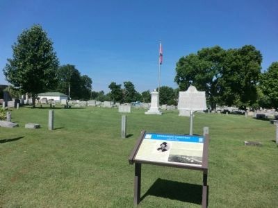
3. Evergreen Cemetery Markers
Credits. This page was last revised on August 10, 2024. It was originally submitted on October 9, 2013, by Don Morfe of Baltimore, Maryland. This page has been viewed 85,049 times since then and 422 times this year. Photos: 1. submitted on August 10, 2024. 2, 3. submitted on October 9, 2013, by Don Morfe of Baltimore, Maryland. • Bernard Fisher was the editor who published this page.
