Wind Point in Racine County, Wisconsin — The American Midwest (Great Lakes)
Fuel House
(Also known as the Oil House)
| — | Constructed in 1910 | — |
Photographed by William Fischer, Jr., August 8, 2013
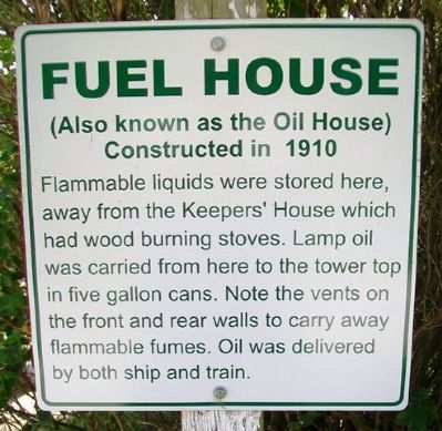
1. Fuel House Marker
Flammable liquids were stored here, away from the Keeper's House which had wood burning stoves. Lamp oil was carried from here to the tower top in five gallon cans. Note the vents on the front and rear walls to carry away flammable fumes. Oil was delivered by both ship and train.
Topics. This historical marker is listed in these topic lists: Charity & Public Work • Communications • Man-Made Features • Waterways & Vessels.
Location. 42° 46.865′ N, 87° 45.473′ W. Marker is in Wind Point, Wisconsin, in Racine County. It can be reached from Lighthouse Drive. Marker is on the grounds of the Wind Point Lighthouse and can be reached from Village Hall Drive east of Lighthouse Drive. Touch for map. Marker is at or near this postal address: 4731 Village Hall Drive, Racine WI 53402, United States of America. Touch for directions.

Regionally, this marker is in Southeast Wisconsin and in Greater Milwaukee. It is also in the American Midwest and in the Corn Belt. Globally, it is in North America, on the Great Lakes, in the Western Hemisphere, in the Western
this page online
Other nearby markers. At least 8 other markers are within walking distance of this marker: The Fuel House and Former Boat House Site (here, next to this marker); Schooner Kate Kelly (within shouting distance of this marker); The Foghorn Building (within shouting distance of this marker); Fog Horn House (within shouting distance of this marker); The Architect (within shouting distance of this marker); Surf Boat Rail (within shouting distance of this marker); The Light (within shouting distance of this marker); The Lighthouse (within shouting distance of this marker). Touch for a list and map of all markers in Wind Point.
Other markers no longer nearby. Pier and Boat Rails (was here, next to this marker but has been confirmed missing); Capstan (was within shouting distance of this marker but has been confirmed missing).
Also see . . .
1. Wind Point Lighthouse History. Lighthouse Friends website entry (Submitted on October 10, 2013, by William Fischer, Jr. of Reynoldsburg, Ohio.)
2. The Racine Lighthouse and Maritime Preservation Society.
Photographed by William Fischer, Jr., August 8, 2013
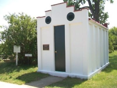
2. Fuel House and Marker
formerly Friends of the Wind Point Lighthouse (Submitted on October 10, 2013, by William Fischer, Jr. of Reynoldsburg, Ohio.)
Photographed by Joel Seewald, August 3, 2021
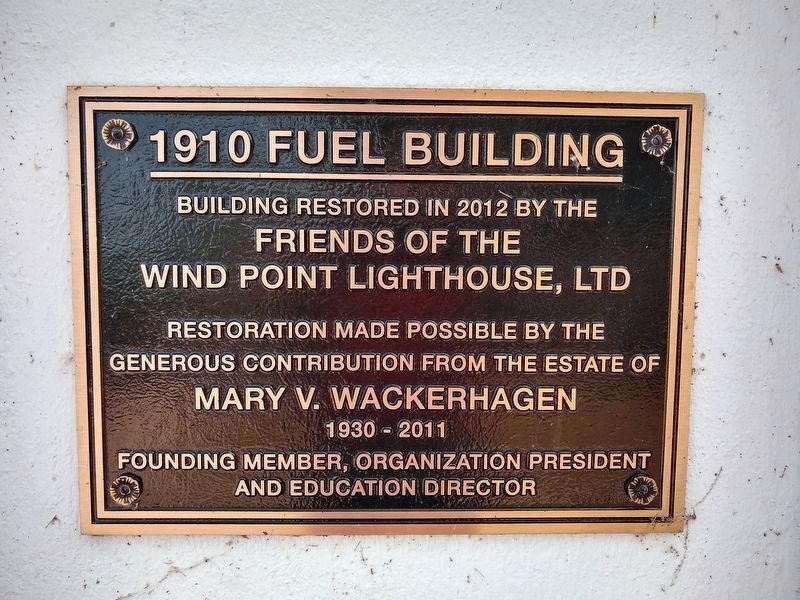
3. 1910 Fuel Building plaque
Restoration made possible by the
generous contribution from the estate of
Mary V. Wackerhagen
1930 - 2011
Founding member, organization president
and education director
Credits. This page was last revised on February 20, 2022. It was originally submitted on October 10, 2013, by William Fischer, Jr. of Reynoldsburg, Ohio. This page has been viewed 457 times since then and 13 times this year. Photos: 1, 2. submitted on October 10, 2013, by William Fischer, Jr. of Reynoldsburg, Ohio. 3. submitted on August 23, 2021, by Joel Seewald of Madison Heights, Michigan.
