Mickleton in Gloucester County, New Jersey — The American Northeast (Mid-Atlantic)
Bodo Otto
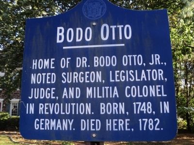
Photographed by Bill Coughlin, October 27, 2013
1. Bodo Otto Marker
Erected 1964 by State of New Jersey.
Topics. This historical marker is listed in these topic lists: Colonial Era • Science & Medicine • Settlements & Settlers • War, US Revolutionary. A significant historical year for this entry is 1748.
Location. 39° 47.32′ N, 75° 14.426′ W. Marker is in Mickleton, New Jersey, in Gloucester County. It is on Kings Hwy (County Route 551) north of Quaker Road, on the left when traveling south. Touch for map. Marker is in this post office area: Mickleton NJ 08056, United States of America. Touch for directions.

Regionally, this marker is in South Jersey and in Greater Philadelphia. It is also in the American Northeast, in the Mid-Atlantic, and on the Eastern Seaboard. Globally, it is in the North Atlantic Region, North America, the Western Hemisphere, the Western World, and the Anglosphere. Historically, it finds itself in what was once New Netherland and also one of the original Thirteen Colonies.
Other nearby markers. At
this page online
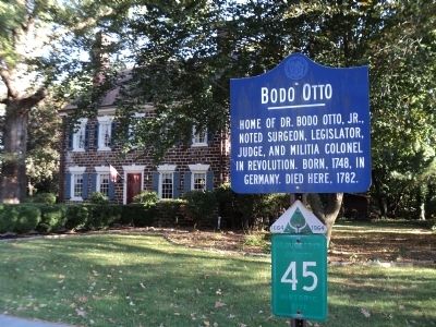
Photographed by Bill Coughlin, October 27, 2013
2. Bodo Otto Marker
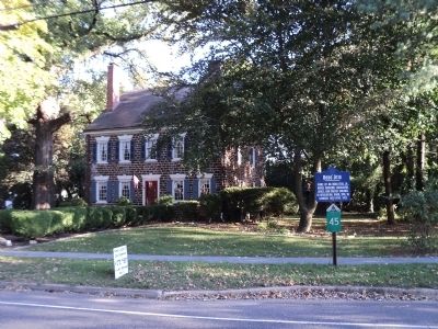
Photographed by Bill Coughlin, October 27, 2013
3. Marker on the Kings Highway
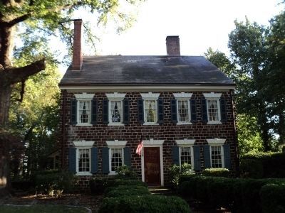
Photographed by Bill Coughlin, October 27, 2013
4. Home of Dr. Bodo Otto, Jr.
Dr. Otto died in this house on January 20, 1782, at the age of 33.
Photographed by Bill Coughlin, December 28, 2013
5. Bodo Otto Marker
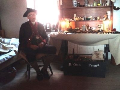
A reenactor portrays Dr. Bodo Otto at the Old Barracks in Trenton. Note the name on the chest.
Credits. This page was last revised on December 28, 2020. It was originally submitted on October 27, 2013, by Bill Coughlin of Woodland Park, New Jersey. This page has been viewed 1,080 times since then and 49 times this year. Photos: 1, 2, 3, 4. submitted on October 27, 2013, by Bill Coughlin of Woodland Park, New Jersey. 5. submitted on January 7, 2014, by Bill Coughlin of Woodland Park, New Jersey.
