Near Arco in Butte County, Idaho — The American West (Mountains)
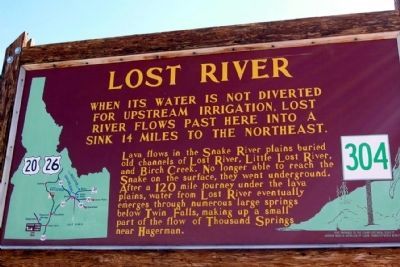
Lost River
Lava flows in the Snake River plains buried old channels of Lost River, Little Lost River, and Birch Creek. No longer able to reach the Snake on the surface, they went underground. After a 120 mile journey under the lava plains, water from Lost River eventually emerges through numerous large springs below Twin Falls, making up a small part of the Thousand Springs near Hagerman.
Erected by Idaho Historical Society and Idaho Transportation Department. (Marker Number 304.)
Topics and series. This historical marker is listed in these topic lists: Agriculture • Environment. In addition, it is included in the Idaho State Historical Society series list.
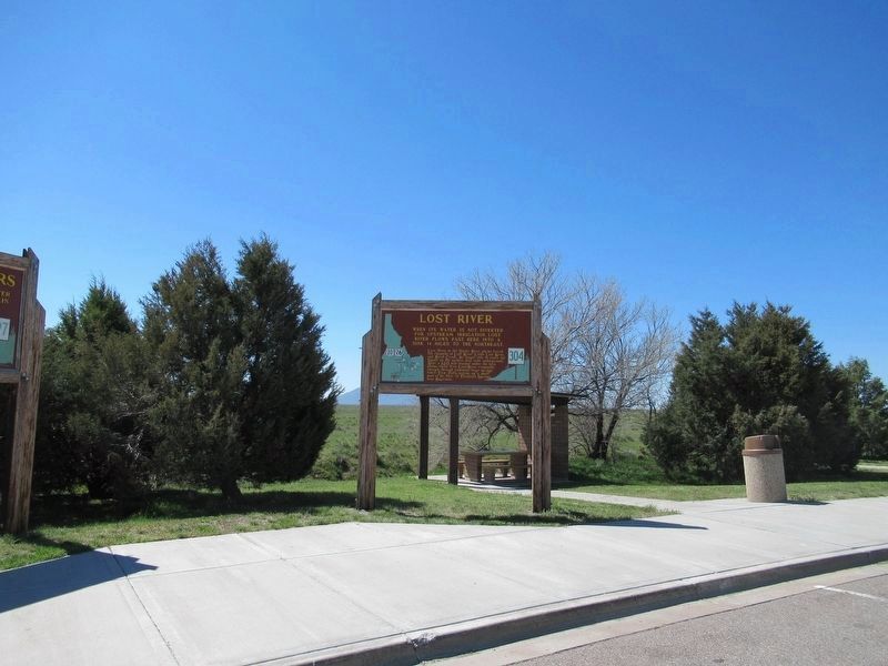
Location. 43° 32.904′ N, 113° 0.487′ W. Marker is near Arco, Idaho, in Butte County. Marker can be reached from U.S. 20 at milepost 265,, 1.2 miles west of Van Buren Boulevard, on the right when traveling east. Marker is located at the Lost River Rest Area. Touch for map. Marker is in this post office area: Arco ID 83213, United States of America. Touch for directions.
Other nearby markers. At least 4 other markers are within 3 miles of this marker, measured as the crow flies. Nuclear Reactors (here, next to this marker); A Plain of Volcanoes (about 300 feet away, measured in a direct line); Prehistory and Recent History (about 300 feet away); EBR-I (approx. 2˝ miles away).
Also see . . . Big Lost River - Wikipedia entry. (Submitted on November 27, 2013.)
Credits. This page was last revised on May 30, 2017. It was originally submitted on November 27, 2013, by Duane Hall of Abilene, Texas. This page has been viewed 1,041 times since then and 39 times this year. Photos: 1. submitted on November 27, 2013, by Duane Hall of Abilene, Texas. 2. submitted on May 30, 2017, by Michael Herrick of Southbury, Connecticut.

