Near Port Gibson in Claiborne County, Mississippi — The American South (East South Central)
Windsor Ruins
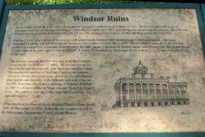
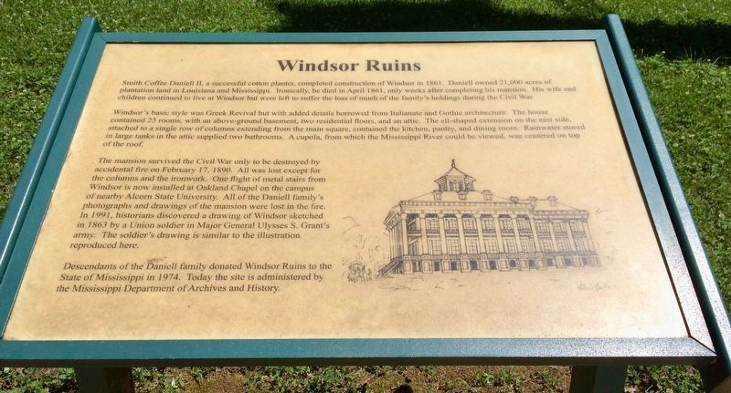
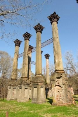
Smith Coffee Daniell II, a successful cotton planter, completed construction of Windsor in 1861. Daniell owned 21,000 acres of plantation land in Louisiana and Mississippi. Ironically, he died in April 1861, only weeks after completing his mansion. His wife and children continued to live at Windsor but were left to suffer the loss of much of the family's holdings during the Civil War.
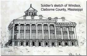
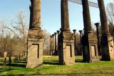
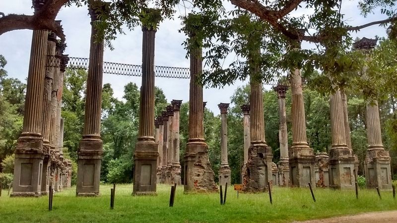
Windsor's basic style was Greek Revival but with added details borrowed from Italianate and Gothic architecture. The house contained 23 rooms, with an above-ground basement, two residential floors, and an attic. The ell-shaped extension on the east side, attached to a single row of columns extending from the main square, contained the kitchen, pantry, and dining room. Rainwater stored in large tanks in the attic supplied two bathrooms. A cupola, from which the Mississippi River could be viewed, was centered on top of the roof.
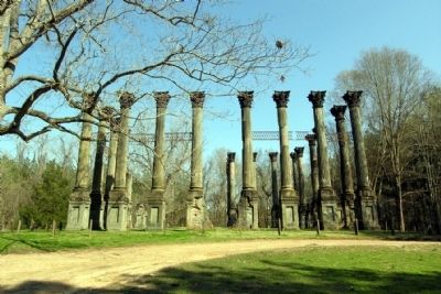
The mansion survived the Civil War only to be destroyed by accidental fire on February 17, 1890. All was lost except for the columns and the ironwork. One flight of metal stairs from Windsor is now installed at Oakland Chapel on the campus of nearby Alcorn State University. All of the Daniell family's photographs and drawings of the mansion were lost in the fire. In 1991, historians discovered a drawing of Windsor sketched in 1863 by a Union soldier in Major General Ulysses S. Grant's army. The soldier's drawing is similar to the illustration reproduced here.
Descendants of the Daniell family donated Windsor Ruins to the State of Mississippi in 1974. Today the site is administered by the Mississippi Department of Archives and History.
Topics and series. This historical marker is listed in these topic lists: Agriculture • Architecture • Settlements & Settlers • War, US Civil. In addition, it is included in the Historically Black Colleges and Universities series list. A significant historical date for this entry is February 17, 1890.
Location. 31° 56.447′ N, 91° 7.776′ W. Marker is near Port Gibson, Mississippi, in Claiborne County. Marker can be reached from Rodney Road (State Highway 552) 1.3 miles north of Rodney Westside Road, on the right when traveling north. Marker is about 8.35 miles west of the town of Port Gibson (as the crow flies). Look for the sign that says "Ruins of Windsor State Historic Site." Turn here and follow the unpaved road to the site of Windsor Ruins. Touch for map. Marker is in this post office area: Port Gibson MS 39150, United States of America. Touch for directions.
Other nearby markers. At least 8 other markers are within 5 miles of this marker, measured as the crow flies. Windsor Mounds (approx. 0.4 miles away); Battle of Port Gibson – Grant’s March (approx. 2.4 miles
away); Battle of Port Gibson – The Battle (approx. 2.4 miles away); Bethel Church (approx. 2.4 miles away); Canemount Plantation (approx. 3.2 miles away); Oakland College (approx. 4˝ miles away); The Chapel (approx. 4˝ miles away); Alcorn Agricultural And Mechanical College (approx. 4˝ miles away).
Credits. This page was last revised on December 16, 2020. It was originally submitted on December 2, 2013, by Karl Stelly of Gettysburg, Pennsylvania. This page has been viewed 1,404 times since then and 76 times this year. Photos: 1, 2. submitted on December 2, 2013, by Karl Stelly of Gettysburg, Pennsylvania. 3. submitted on May 26, 2017, by Mark Hilton of Montgomery, Alabama. 4, 5, 6. submitted on January 14, 2014, by Duane Hall of Abilene, Texas. 7, 8. submitted on July 18, 2017, by Tom Bosse of Jefferson City, Tennessee. • Bernard Fisher was the editor who published this page.
