Fort Garland in Costilla County, Colorado — The American Mountains (Southwest)
Fort Garland
⎯⎯⎯
Buffalo Soldiers
Photographed by Don Morfe, September 1, 2008
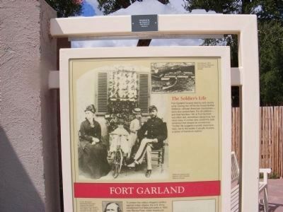
1. Fort Garland Marker
Top portion of the marker
Click on photo to view historic photos and to read captions.
Click on photo to view historic photos and to read captions.
Front
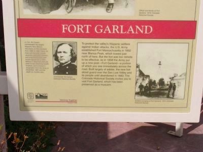
To protect the valley's Hispanic settlers against Indian attacks, the U.S. Army established Fort Massachusetts in 1852 near Blanca Peak, which towers just north of here. But the fort was too remote to be effective, so in 1858 the Army put up a new post -- Fort Garland -- a portion of which you see immediately across the road. Built largely of adobe, the new fort stood guard over the San Luis Valley and its people until abandoned in 1883. The Colorado Historical Society invites you to visit Fort Garland, which has been preserved as a museum.
Reverse
Erected 1996 by Colorado Historical Society and the DOT Colorado. (Marker Number 190.)
Topics and series.
this page online
Location. 37° 25.433′ N, 105° 25.901′ W. Memorial is in Fort Garland, Colorado, in Costilla County. It can be reached from State Highway 159, on the right when traveling south. Touch for map. Memorial is at or near this postal address: 29477 CO-159, Fort Garland CO 81133, United States of America. Touch for directions.

Regionally, this memorial is in the San Juan Mountains and in the San Luis Valley. It is also in the American Mountain West. Globally, it is in North America, the Rocky Mountains, the Western Hemisphere, the Western World, and the Anglosphere. Historically, it finds itself in what was once New Spain and also the Republic of Texas.
Other nearby markers. At least 8 other markers are within 5 miles of this marker, measured as the crow flies: Fort Garland (within shouting distance of this marker); Costilla County Veterans Memorial
Photographed by Don Morfe, September 1, 2008
2. Fort Garland Marker
Bottom portion of the marker
Click on photo to view historic photos and to read captions.
Click on photo to view historic photos and to read captions.
Another marker is no longer nearby. Fort Garland (was within shouting distance of this marker but has been permanently removed).
Also see . . . The Story of Fort Garland. Colorado's Museum Trail website entry:
Fort Garland was build of adobe in a plaza format as was typical of the surrounding villages. It was named for Brevet Brigadier General John Garland, then in command of the Department of New Mexico. Built on land that was part of the Sangre de Cristo Grant, leased by the United States government, the fort was established primarily to protect settlers from Indian resistance. It had accommodations for two companies of an approximate strength of two officers and one hundred enlisted men. (Submitted on January 6, 2014.)
Photographed by Don Morfe, September 1, 2008
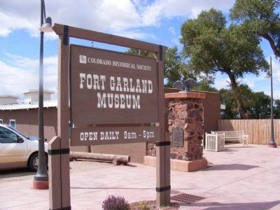
3. Fort Garland Museum Sign at the Entrance
Photographed by Don Morfe, September 1, 2008
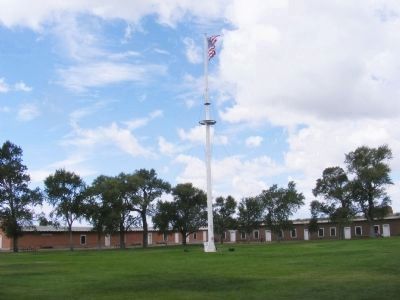
4. Fort Garland Parade Ground and Surrounding Buildings
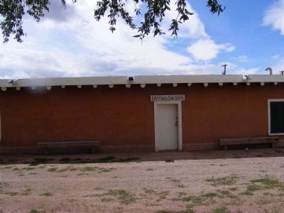
Photographed by Don Morfe, September 1, 2008
5. Fort Garland-Buffalo Soldiers Building
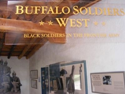
Photographed by Don Morfe, September 1, 2008
6. Fort Garland Museum-Buffalo Soldiers in the Frontier Army
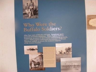
Photographed by Don Morfe, September 1, 2008
7. Fort Garland Museum-Who Were the Buffalo Soldiers
After four years of bloody civil war, Americans again pursued westward expansion. Plains Indians fiercely resisted the invasion of their homes and hunting grounds, and in 1866 Congress authorized recruitment of African American soldiers to secure the isolated outposts of the western frontier.
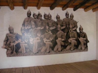
Photographed by Don Morfe, September 1, 2008
8. Fort Garland-Buffalo Soldiers
Photographed by Don Morfe, September 1, 2008
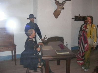
9. Post Commander's Office
In charge of numerous troops and their families, the commandant had broad responsibilities. This room is partially furnished as a military office of the period. Here the officer held open house for staff and visitors and met with official guests. This scene depicts the meeting of Carson and Ute chief Ouray.
Credits. This page was last revised on December 23, 2024. It was originally submitted on January 1, 2014, by Don Morfe of Baltimore, Maryland. This page has been viewed 1,546 times since then and 73 times this year. Photos: 1, 2, 3, 4, 5, 6, 7, 8, 9. submitted on January 1, 2014, by Don Morfe of Baltimore, Maryland. • Syd Whittle was the editor who published this page.
Editor’s want-list for this marker. Full view of the marker and photo of reverse side and provide text. • Wide area view of the marker and its surroundings. • Can you help?
