Harrisburg in Dauphin County, Pennsylvania — The American Northeast (Mid-Atlantic)
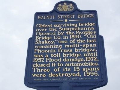
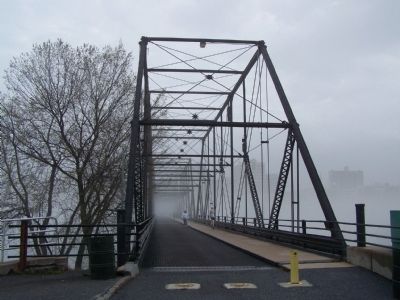
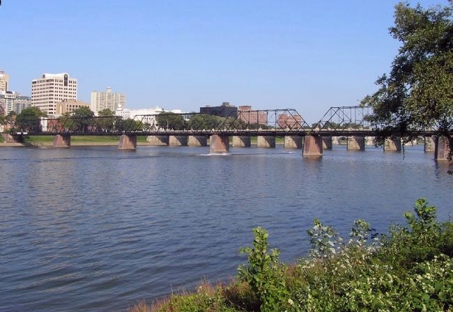
Walnut Street Bridge
Erected 1996 by Pennsylvania Historical and Museum Commission.
Topics and series. This historical marker is listed in these topic lists: Bridges & Viaducts • Disasters • Notable Events • Roads & Vehicles. In addition, it is included in the Pennsylvania Historical and Museum Commission series list. A significant historical year for this entry is 1890.
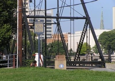
Location. 40° 15.333′ N, 76° 53.274′ W. Marker is in Harrisburg, Pennsylvania, in Dauphin County. Marker can be reached from Walnut Street. Marker is at the City Island end of The People's Bridge. Touch for map. Marker is in this post office area: Harrisburg PA 17101, United States of America. Touch for directions.
Other nearby markers. At least 8 other markers are within walking distance of this marker. City Island (here, next to this marker); Harrisburg Giants (within shouting distance of this marker); Evolution of Harrisburg's Skyline (approx. 0.2 miles away); The People’s Bridge (approx. 0.3 miles away); a different marker also named Walnut Street Bridge (approx. 0.3 miles away); a different marker also named The People’s Bridge (approx. 0.3 miles away); Riverfront Park (approx. 0.3 miles away); James McCormick Mansion (approx. 0.3 miles away). Touch for a list and map of all markers in Harrisburg.
Credits. This page was last revised on June 16, 2016. It was originally submitted on April 14, 2008, by Bill Pfingsten of Bel Air, Maryland. This page has been viewed 1,764 times since then and 17 times this year. Photos: 1. submitted on April 14, 2008, by Bill Pfingsten of Bel Air, Maryland. 2. submitted on August 30, 2010, by PaulwC3 of Northern, Virginia. 3. submitted on April 14, 2008, by Bill Pfingsten of Bel Air, Maryland. 4. submitted on August 30, 2010, by PaulwC3 of Northern, Virginia.


