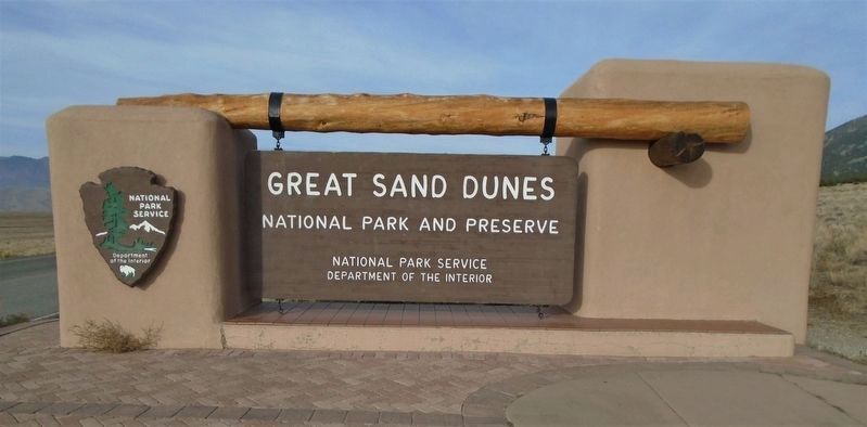
Great Sand Dunes National Park and Preserve in Alamosa County, Colorado — The American Mountains (Southwest)
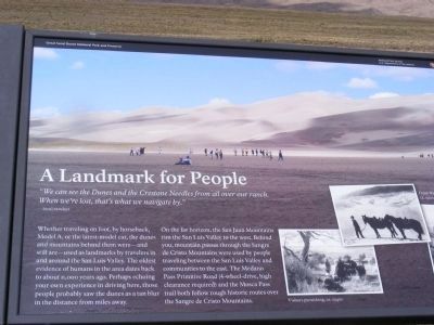
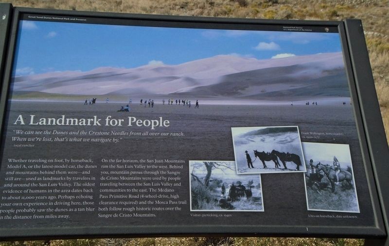
A Landmark for People
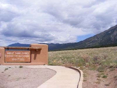
Great Sand Dunes National Park and Preserve
— National Park Service, U.S. Department of the Interior —
“We can see the Dunes and the Crestone Needles from all over our ranch. When we are lost, that’s what we navigate by.”
--local rancher
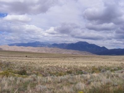
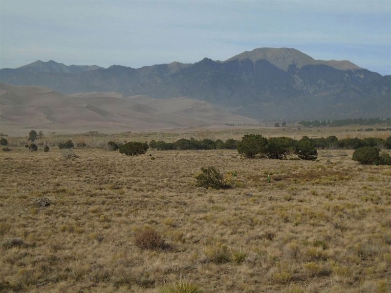
Whether traveling on foot, by horseback, Model A, or the latest-model car, the dunes and mountains behind them were—and still are—used as landmarks by travelers in and around the San Luis Valley. The oldest evidence of humans in the area dates back to about 11,000 years ago. Perhaps echoing your own experience in driving here, those people probably saw the dunes as a tan blur in the distance from miles away.
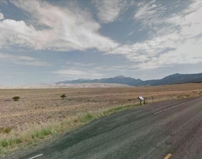
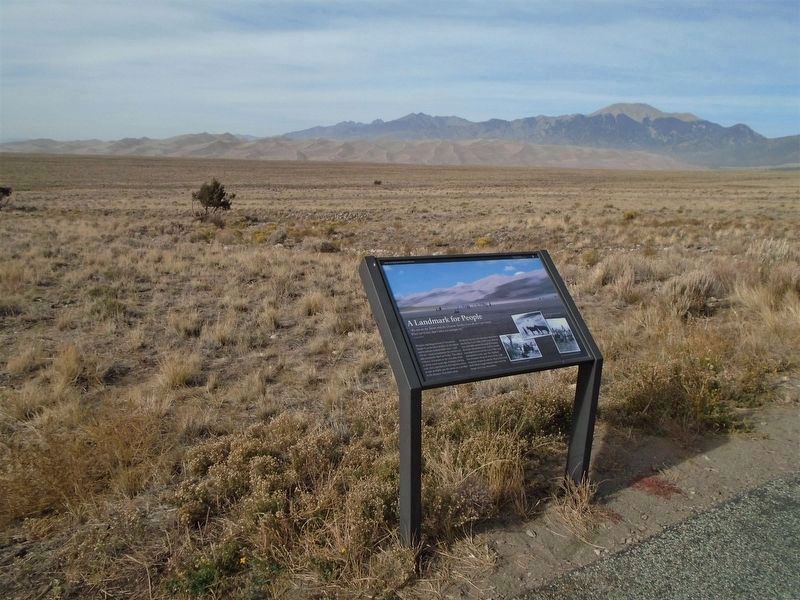
On the far horizon, the San Juan Mountains rim the San Luis Valley to the west. Behind you, mountain passes through the Sangre de Cristo Mountains were used by people traveling between the San Luis Valley and communities to the east. The Medano Pass Primitive Road (4-wheel-drive, high clearance required) and the Mosca Pass trail both follow rough historic routes over the Sangre de Cristo Mountains.
Erected by National Park Service, U.S. Department of the Interior.
Topics. This historical marker is listed in these topic lists: Environment • Natural Features.
Location. 37° 42.355′ N, 105° 32.085′ W. Marker is in Great Sand Dunes National Park and Preserve, Colorado, in Alamosa County. Marker can be reached from Highway 150. Touch for map. Marker is at or near this postal address: 11999 Highway 150, Mosca CO 81146, United States of America. Touch for directions.
Other nearby markers. At least 8 other markers are within 5 miles of this marker, measured as the crow flies. "Totally Unique and Unexpected" (approx. 0.9 miles away); Zebulon Pike's "sand-hills" (approx. 2.1 miles away); Sangre de Cristo Ecosystem (approx. 2.2 miles away); The Mountain Barrier (approx. 2.2 miles away); Dimensions (approx. 2˝ miles away); Stepping into Wilderness (approx. 2˝ miles away); Understanding the Great Sand Dunes System: the Sand Sheet (approx. 4.7 miles away); Sounds of Silence (approx. 4.7 miles away).
Also see . . . Great Sand Dunes National Park History & Culture. (Submitted on November 22, 2020, by William Fischer, Jr. of Scranton, Pennsylvania.)
Credits. This page was last revised on November 22, 2020. It was originally submitted on January 1, 2014, by Don Morfe of Baltimore, Maryland. This page has been viewed 680 times since then and 13 times this year. Photos: 1. submitted on January 1, 2014, by Don Morfe of Baltimore, Maryland. 2. submitted on November 22, 2020, by William Fischer, Jr. of Scranton, Pennsylvania. 3. submitted on February 13, 2014, by Duane Hall of Abilene, Texas. 4. submitted on November 22, 2020, by William Fischer, Jr. of Scranton, Pennsylvania. 5, 6, 7. submitted on January 1, 2014, by Don Morfe of Baltimore, Maryland. 8, 9. submitted on November 22, 2020, by William Fischer, Jr. of Scranton, Pennsylvania. • Syd Whittle was the editor who published this page.
