Amherstburg in Essex County, Ontario — Central Canada (North America)
Detroit River Heritage
Detroit River Heritage
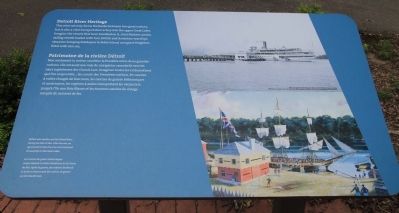
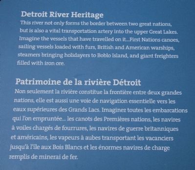
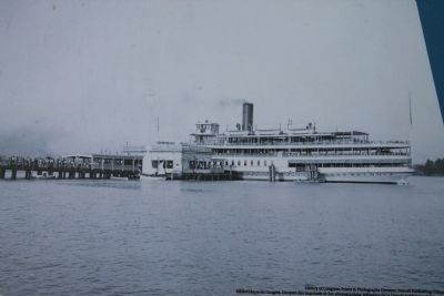
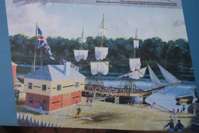
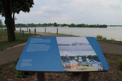
This river not only forms the border between two great nations, but is also a vital transportation artery into the upper Great Lakes. Imagine the vessels that have travelled on it … First National canoes, sailing vessels loaded with furs, British and American warships, steamers bringing holidayers to Boblo Island, and giant freighters filled with iron ore.
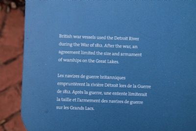
British war vessels used the Detroit River during the War of 1812. After the war, an agreement limited the size and armament of warships on the Great Lakes.
Patrimoine de la rivière Détroit
Non seulement la rivière constitue la frontière entre deux grandes nations, elle est aussi une voie de navigation essentielle vers les eaux supérieures des Grands Lacs. Imaginez toutes les embarcations qui l'on empruntée … les canots des Premières nations, les navires à voiles chargés de fourrures, les navires de guerre britanniques et américains, les vapeurs à aubes transportant les vacanciers jusqu'à l'île aux Bois Blancs et les énormes navires de charge remplis de minerai de fer.
Les navires de guerre britanniques empruntèrent la rivière Dètroit lors de la Guerre de 1812. Après la guerre, une entente limiterait la taille et i'armement des navires de guerre sur les Grands Lacs.
Erected by Parks Canada.
Topics. This historical marker is listed in these topic lists: War of 1812 • Waterways & Vessels. A significant historical year for this entry is 1812.
Location. 42° 6.47′ N, 83° 6.835′ W. Marker is in Amherstburg, Ontario, in Essex County. Marker can be reached from Laird Avenue South just south of Elm Avenue, on the right when traveling south. This historical marker is located in a cluster of three markers, situated a short distance behind the Fort Malden National Historic Site Visitor Centre, slightly downstream, very near the Detroit River. Touch for map. Marker is in this post office area: Amherstburg ON N9V 1X5, Canada. Touch for directions.
Other nearby markers. At least 8 other markers are within walking distance of this marker. Shoreline Breakwall (here, next to this marker); Indian Council House (here, next to this marker); Pensioner's Cottage (within shouting distance of this marker); Major John Richardson (within shouting distance of this marker); Fort Malden Points of Interest (within shouting distance of this marker); The "Tecumseh Stone" (within shouting distance of this marker); Fort Defences (about 90 meters away, measured in a direct line); The Site Over Time (about 90 meters away). Touch for a list and map of all markers in Amherstburg.
Photographed By Dale K. Benington, June 15, 2013
9. Detroit River Heritage Marker
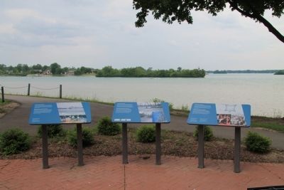
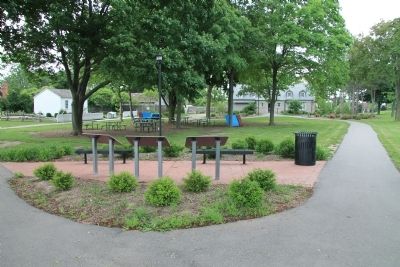
View of the backside of the featured historical marker, situated to the right of a cluster of three markers, with a distant view of the Fort Malden National Historic Site Visitor Centre at the end of the right walkway, and a distant view of the pensioner's cottage at the end of the left walkway.
Credits. This page was last revised on June 16, 2016. It was originally submitted on January 7, 2014, by Dale K. Benington of Toledo, Ohio. This page has been viewed 667 times since then and 5 times this year. Photos: 1, 2, 3, 4, 5, 6, 7, 8, 9. submitted on January 7, 2014, by Dale K. Benington of Toledo, Ohio.
