Mesa Verde in Montezuma County, Colorado — The American Mountains (Southwest)
Canyon Barriers
Mesa Verde National Park
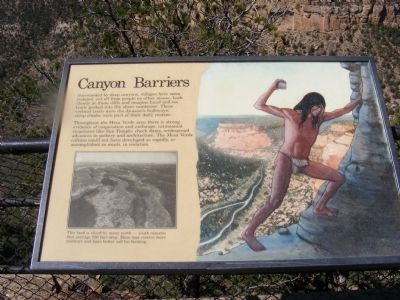
Photographed by Don Morfe, September 4, 2008
1. Canyon Barriers Marker
Throughout the Mesa Verde area there is strong evidence of cooperation and exchange: ceremonial structures like Sun Temple check dams, widespread advances in pottery and architecture. The Mesa Verde culture could not have developed so rapidly, or accomplished so much in isolation.
Erected by National Park Service-United States Department of the Interior.
Topics. This historical marker is listed in these topic lists: Anthropology & Archaeology • Indigenous Peoples and Communities • Landmarks.
Location. 37° 9.942′ N, 108° 29.49′ W. Marker is in Mesa Verde, Colorado, in Montezuma County. It is on Mesa Top Loop. Touch for map. Marker is in this post office area: Mesa Verde National Park CO 81330, United States of America. Touch for directions.

Regionally, this marker is in
this page online
Other nearby markers. At least 8 other markers are within walking distance of this marker: Pithouse Life (approx. 0.4 miles away); Fire Temple (approx. 0.7 miles away); Oak Tree House (approx. 0.7 miles away); Time of Transition (approx. ¾ mile away); Cliff Dwelling Life (approx. 0.8 miles away); Ties that Bind (approx. 0.9 miles away); Years of Activity (approx. 0.9 miles away); Years of Change (approx. 0.9 miles away). Touch for a list and map of all markers in Mesa Verde.
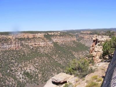
Photographed by Don Morfe, September 4, 2008
2. Mesa Verde Canyon
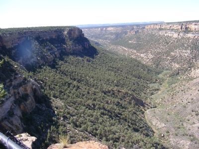
Photographed by Don Morfe, September 4, 2008
3. Mesa Verde Canyon
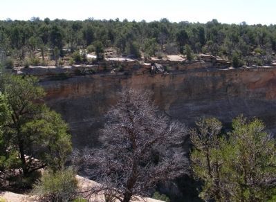
Photographed by Don Morfe, September 4, 2008
4. Mesa Verde Canyon
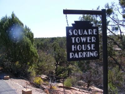
Photographed by Don Morfe, September 4, 2008
5. Sign at Parking Area
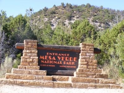
Photographed by Don Morfe, September 4, 2008
6. Sign at the entrance to the park
Credits. This page was last revised on June 16, 2016. It was originally submitted on January 10, 2014, by Don Morfe of Baltimore, Maryland. This page has been viewed 783 times since then and 9 times this year. Photos: 1, 2, 3, 4, 5, 6. submitted on January 10, 2014, by Don Morfe of Baltimore, Maryland. • Bill Pfingsten was the editor who published this page.
