Mesa Verde in Montezuma County, Colorado — The American Mountains (Southwest)
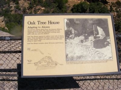
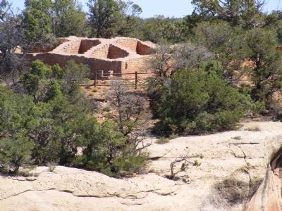
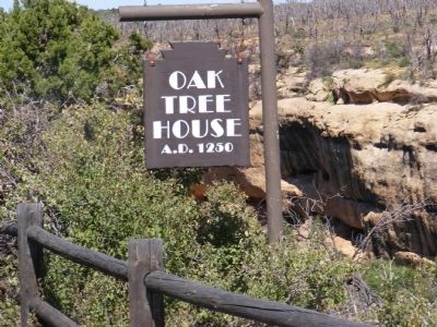
Oak Tree House
Mesa Verde National Park
Adapting to Alcoves
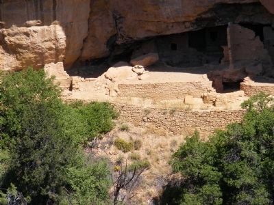
To level the sloping alcove floor, the Anasazi filled in behind retaining walls. The altered floor not only supported rooms but also provided working space and a safe play area for children.
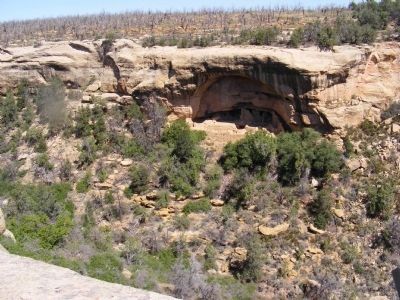
Oak Tree House appears to utilize every inch of alcove space. Some apartments rose four stories to the roof of the inner alcove. There are additional storage rooms along an upper ledge.
Oak Tree House contains about 50 rooms and 6 kivas.
(Inscription under the photo on the right) Smoke-blackened rear wall show evidence of many cooking fires and the struggle to survive winter. Try to distinguish smoke stains from natural mineral stains on the rock.
Erected by National Park Service-United States Department of the Interior.
Topics. This historical marker is listed in these topic lists: Anthropology & Archaeology • Landmarks • Native Americans.
Location. 37° 9.852′ N, 108° 28.716′ W. Marker is in Mesa Verde, Colorado, in Montezuma County. Marker is on Mesa Top Loop. Touch for map. Marker is in this post office area: Mesa Verde National Park CO 81330, United States of America. Touch for directions.
Other nearby markers. At least 8 other markers are within walking distance of this marker. Fire Temple (within shouting distance of this marker); Cliff Dwelling Life (about 600 feet away, measured in a direct line); Time of Transition (approx. 0.2 miles away); Ties that Bind (approx. 0.2 miles away); Years of Activity (approx. ¼ mile away); Years of Change (approx. ¼ mile away); Split-Level History (approx. ¼ mile away); Pithouse Life (approx. 0.3 miles away). Touch for a list and map of all markers in Mesa Verde.
Credits. This page was last revised on June 16, 2016. It was originally submitted on January 10, 2014, by Don Morfe of Baltimore, Maryland. This page has been viewed 674 times since then and 24 times this year. Photos: 1, 2, 3, 4, 5, 6, 7. submitted on January 10, 2014, by Don Morfe of Baltimore, Maryland. • Bill Pfingsten was the editor who published this page.
