Near Chatham in Chatham-Kent, Ontario — Central Canada (North America)
Burning of British Ships
⎯⎯⎯
American Encampment
Monday, October 4, 1813
| — | Tecumseh Parkway | — |
Photographed by Dale K. Benington, July 23, 2013
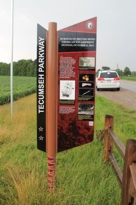
1. Burning of British Ships / American Encampment Marker
The American forces encamped in this area on the night of October 4 and were entertained by fireworks as the ammunition left on the ships exploded as the vessels burned.
Erected by Tecumseh Parkway.
Topics. This historical marker is listed in these topic lists: Colonial Era • War of 1812 • Waterways & Vessels. A significant historical date for this entry is October 4, 1991.
Location. 42° 26.477′ N, 82° 8.162′ W. Marker is near Chatham, Ontario, in Chatham-Kent. It is on River Line (County Route 39) just east of Communication Road (Ontario Highway 40), on the left when traveling east. This historical marker is located in a rural area, on the edge of a farmers field, in a small roadside park, on the north side of the roadway. Touch for map. Marker is at or near this postal address: 9775 River Line, Chatham ON N0P, Canada. Touch for directions.

Regionally, this marker is in the Southwest Ontario Area and in Southwestern Ontario. It is also in Central Canada. Globally, it is in North America, on the Great Lakes, in the Western Hemisphere, in the Western World, and in the Anglosphere. Historically, it finds itself in what was once a British colony, the Viceroyalty of New France, the Haudenosaunee (Iroquois) Confederacy, and Rupert’s Land.
Other nearby markers. At least 8 other markers are within 6 kilometers of this marker,
this page online
Photographed by Dale K. Benington, July 23, 2013
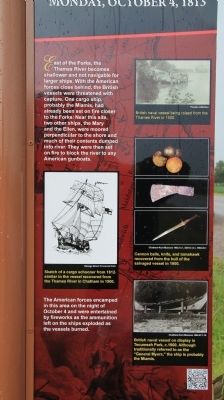
2. Burning of British Ships / American Encampment Marker
Close-up view, looking east, of the English text side of the historical marker.
Photographed by Dale K. Benington, July 23, 2013
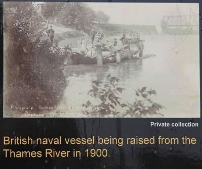
3. Burning of British Ships / American Encampment Marker
Close-up view of a photograph of an early 19th century British gunboat being raised from the Thames River in 1900, that is displayed on the historical marker.
Photographed by Dale K. Benington, July 23, 2013
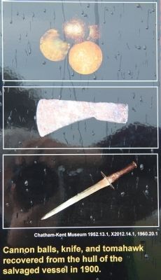
4. Burning of British Ships / American Encampment Marker
Close-up view of items recovered from early 19th century British gunboat salvaged from the Thames River in 1900, that is displayed on the historical marker.
Photographed by Dale K. Benington, July 23, 2013
5. Burning of British Ships / American Encampment Marker
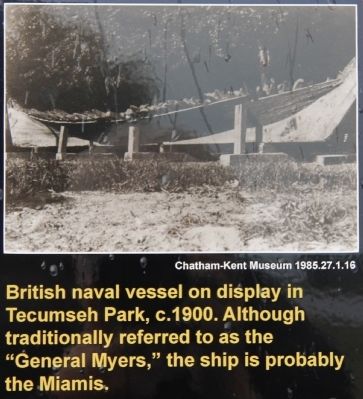
Close-up view of a photograph of the salvaged early 19th century British gunboat that was displayed in Tecumseh Park in 1900, that is displayed on the historical marker.
Photographed by Dale K. Benington, July 23, 2013
6. Burning of British Ships / American Encampment Marker
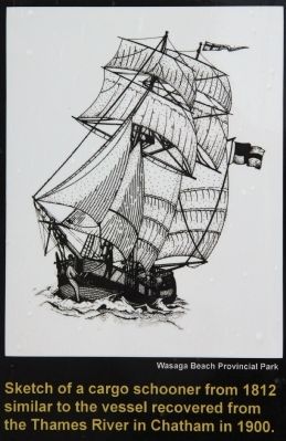
Close-up view of the sketch of a vessel similar to the one recovered from the Thames River in 1900, that is displayed on the historical marker.
Photographed by Dale K. Benington, July 23, 2013
7. Burning of British Ships / American Encampment Marker
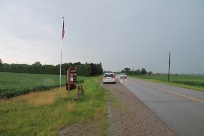
View, looking east along River Line, of the historical marker situated at a rural roadside park.
Photographed by Dale K. Benington, July 23, 2013
8. Burning of British Ships / American Encampment Marker
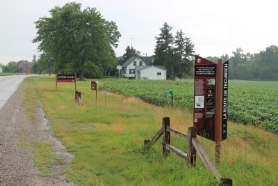
View looking west along River Line, of the French text side of the historical marker.
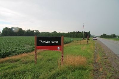
Photographed by Dale K. Benington, July 23, 2013
9. Burning of British Ships / American Encampment Marker
View, looking east along River Line, of the Tecumseh Parkway sign used to alert motorists of the presence of the historical marker, seen a short distance further down the road.
Credits. This page was last revised on September 27, 2019. It was originally submitted on January 20, 2014, by Dale K. Benington of Toledo, Ohio. This page has been viewed 790 times since then and 44 times this year. Photos: 1, 2, 3, 4, 5, 6, 7, 8, 9. submitted on January 20, 2014, by Dale K. Benington of Toledo, Ohio.
