Near Thamesville in Chatham-Kent, Ontario — Central Canada (North America)
Prelude to Battle
Tuesday, October 5, 1813
— Tecumseh Parkway —
Inscription.
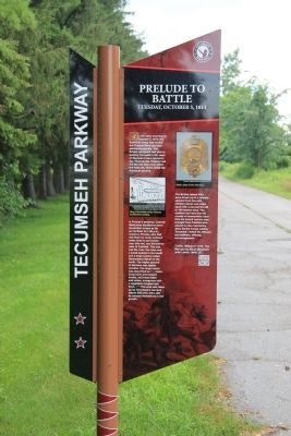
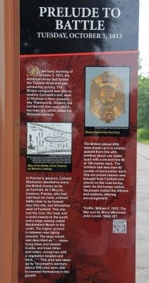
By the early morning of October 5, 1813, the American Army had forded the Thames River and was advancing quickly. The British rearguard was able to destroy Cornwall's mill, west of Sherman's farm (present-day Thamesville, Ontario) but not the mill dam over which the road ran, which aided the American pursuit.
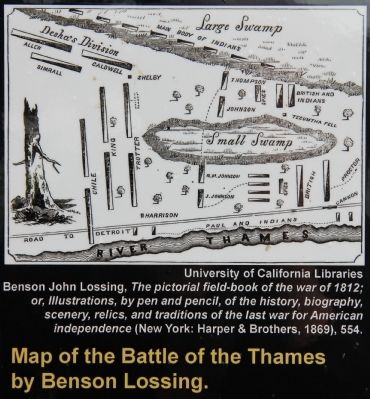
In Procter's absence, Colonel Warburton decided to move the British troops as far as Fairfield. At 1:00 p.m., however, Procter, who had met them en route, ordered battle lines to be formed near this site, two kilometres west of Fairfield. This site had the river, the road, and a small swamp to the south and a large swamp called Backmetack Marsh to the north. The higher ground in between was lightly wooded. The large marsh was described as "… moss-hung trees and twisted trunks, and trees fallen and rotten, overgrown with a vegetation tangled and thick …" This area was taken up by Tecumseh's warriors (about 500) who were able to conceal themselves in the growth.
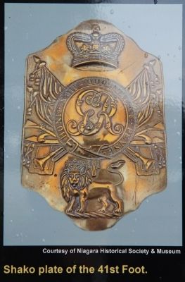
The British (about 450) were drawn up in a loosely spaced front line with soldiers about one metre apart with a second line 80 to 100 metres back. The soldiers had less than 60 rounds of ammunition each. One six-pound cannon was brought from Fairfield and placed on the road facing west. As the troops waited, Tecumseh visited the officers and soldiers, offering encouragement.
Erected by Tecumseh Parkway.
Topics. This historical marker is listed in these topic lists: Colonial Era • Native Americans • War of 1812. A significant historical date for this entry is October 5, 1813.
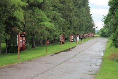
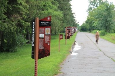
Location. 42° 33.904′ N, 81° 55.839′ W. Marker is near Thamesville, Ontario, in Chatham-Kent. Marker can be reached from Longwoods Road (Provincial Highway 2) 4.2 kilometers east of Victoria Road (Provincial Highway 21), on the right when traveling east. The historical marker is located in a Historical Park, that commemorates the Battle of the Thames, along the east side of a park roadway with a long series of Tecumseh Parkway markers. Touch for map. Marker is at or near this postal address: 14376 Longwoods Road, Thamesville ON N0P 2K0, Canada. Touch for directions.
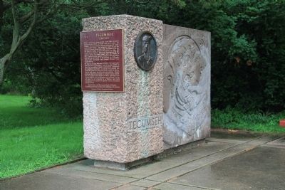
Other nearby markers. At least 8 other markers are within walking distance of this marker. Why Choose This Site? (a few steps from this marker); Participants in the Battle of the Thames (within shouting distance of this marker); a different marker also named Participants in the Battle of the Thames (within shouting distance of this marker); a different marker also named Participants in the Battle of the Thames (within shouting distance of this marker); Tecumseh (within shouting distance of this marker); Battle of Moraviantown, 1813
(within shouting distance of this marker); a different marker also named Participants in the Battle of the Thames (within shouting distance of this marker); a different marker also named Participants in the Battle of the Thames (within shouting distance of this marker). Touch for a list and map of all markers in Thamesville.
Credits. This page was last revised on September 27, 2019. It was originally submitted on January 20, 2014, by Dale K. Benington of Toledo, Ohio. This page has been viewed 644 times since then and 15 times this year. Photos: 1, 2, 3, 4, 5, 6, 7, 8. submitted on January 20, 2014, by Dale K. Benington of Toledo, Ohio.
