Near Morton in Renville County, Minnesota — The American Midwest (Upper Plains)
The Story of the Land
Before the Battle
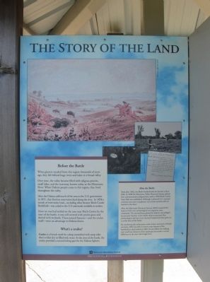
When glaciers receded from this region thousands of years ago, they left behind huge rivers and lakes in a broad valley.
Over time, the valley became filled with tallgrass prairies, small lakes, and the waterway known today as the Minnesota River. When Dakota people came to this region, they lived throughout the valley.
After the Dakota sold much of the area to the U.S. government in 1851, they lived on reservation land along the river. In 1858 a stretch of reservation land—including what became Birch Coulee Battlefield—was ceded to the U.S. and made available to settlers.
Since no one had settled on the area near Birch Coulee by the time of the battle, it was still covered with prairie grass and dotted with wetlands. These natural features—and the coulee itself—were an advantage to Dakota forces.
What's a coulee?
Coulee is a French word for a deep streambed with steep sides that is either dry or filled with water. At the time of the battle, the coulee provided a natural hiding spot for the Dakota fighters.
After the Battle
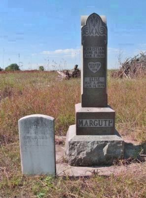
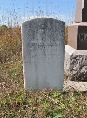
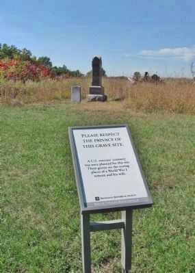
Soon after 1862, the Birch Coulee battle site became a farm field. In 1898 the Minnesota Valley Historical Society placed four commemorative plaques here, and in 1929 Birch Coulee State Park was established. Although a planned U.S. veterans' cemetery was never completed, one veteran and his wife are buried on the land.
After the Minnesota Historical Society (MHS) acquired the land in 1976, two archaeological investigations were conducted. The site had been plowed by farmers and pillaged by souvenir hunters, so few battle objects remained. But archaeologists did learn how the land looked and what grew on it at the time of the battle.
By combining this information with written memories of battle survivors, MHS was able to restore some features of the battlefield as they looked in 1862. As you follow the walking trail, you'll see elements of the landscape that made a crucial difference to the men who fought here.
Birch Coulee Battlefield
Erected by the Minnesota Historical Society.
Topics and series. This historical marker is listed in these topic lists: Cemeteries & Burial Sites • Native Americans • Wars, US Indian. In addition, it is included in the Minnesota Historical Society series list. A significant historical year for this entry is 1851.
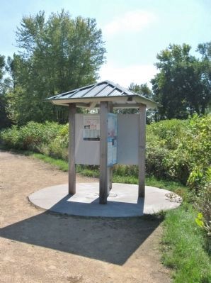
Location. 44° 34.493′ N, 94° 58.504′ W. Marker is near Morton, Minnesota, in Renville County. Marker can be reached from County Road 18, 0.2 miles south of 690th Avenue (County Road 2), on the left when traveling south. Marker is at a kiosk within Birch Coulee Battlefield/State Park. Touch for map. Marker is at or near this postal address: 68634 County Road 18, Morton MN 56270, United States of America. Touch for directions.
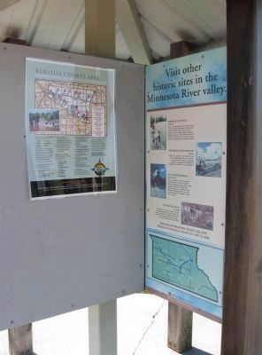
Other nearby markers. At least 8 other markers are within walking distance of this marker. Minnesota's Civil War (here, next to this marker); The Battle of Birch Coulee (within shouting distance of this marker); Two Men, One War (about 400 feet away, measured in a direct line); Wrong Place, Wrong Time (about 500 feet away); After the Battle (about 500 feet away); "A Beautiful Place to Encamp" (about 500 feet away); The Battle Ends (about 700 feet away); a different marker also named The Battle of Birch Coulee (about 700 feet away). Touch for a list and map of all markers in Morton.
More about this marker. captions:
• Seth Eastman, Buffalo Hunt, 1846-48
• Photos MHS, 1976
• Minnesota land survey field notes, 1858
Also see . . . The US-Dakota War of 1862. During the War. (Submitted on January 23, 2014.)
Additional keywords. U.S.-Dakota War of 1862
Photographed By K. Linzmeier, September 25, 2013
4. Nearby Grave Site
Credits. This page was last revised on June 16, 2016. It was originally submitted on January 23, 2014, by Keith L of Wisconsin Rapids, Wisconsin. This page has been viewed 719 times since then and 17 times this year. Photos: 1, 2, 3, 4, 5, 6. submitted on January 23, 2014, by Keith L of Wisconsin Rapids, Wisconsin.
