Cortez in Montezuma County, Colorado — The American Mountains (Southwest)
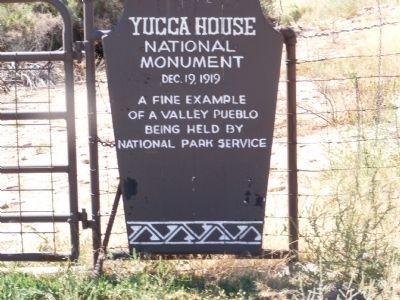
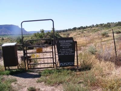
Yucca House National Monument
Erected by National Park Service-United States Department of the Interior.
Topics. This historical marker and monument is listed in these topic lists: Anthropology & Archaeology • Native Americans • Natural Resources. A significant historical date for this entry is December 19, 1853.
Location. 37° 15.096′ N, 108° 41.136′ W. Marker is in Cortez, Colorado, in Montezuma County. Marker is on County Route 20.5. Touch for map. Marker is in this post office area: Cortez CO 81321, United States of America. Touch for directions.
Other nearby markers. At least 8 other markers are within 9 miles of this marker, measured as the crow flies. Notah Dineh Trading Company & Museum (approx. 8˝ miles away); Montezuma County Court House (approx. 8.6 miles away); Soldier's Homestead (approx. 8.6 miles away); Citizens State Bank (approx. 8.6 miles away); Marshal W.G. Clucas Residence (approx. 8.7 miles away); Cortez Post Office (approx. 8.7 miles away); Cortez Travel (Duncan Beauty Shop) (approx. 8.7 miles away); Office Outpost (J.C. Penney Building) (approx. 8.7 miles away). Touch for a list and map of all markers in Cortez.
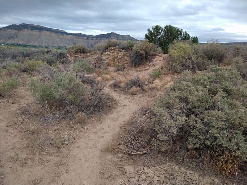
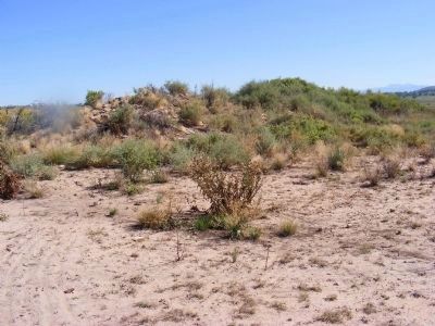
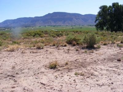
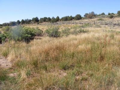
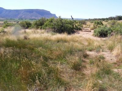
More about this monument. This is an ancestral puebloan archaeological site located at the foot of the Sleeping Ute Mountain.
It was placed on the National Register of Historic Places by the National Park Service on October 15, 1966.
Credits. This page was last revised on December 21, 2022. It was originally submitted on January 27, 2014, by Don Morfe of Baltimore, Maryland. This page has been viewed 611 times since then and 8 times this year. Photos: 1, 2. submitted on January 27, 2014, by Don Morfe of Baltimore, Maryland. 3. submitted on December 18, 2022, by Jeff Leichsenring of Garland, Texas. 4, 5, 6, 7, 8. submitted on January 27, 2014, by Don Morfe of Baltimore, Maryland. • Bill Pfingsten was the editor who published this page.
