Near Troy in Lincoln County, Montana — The American West (Mountains)
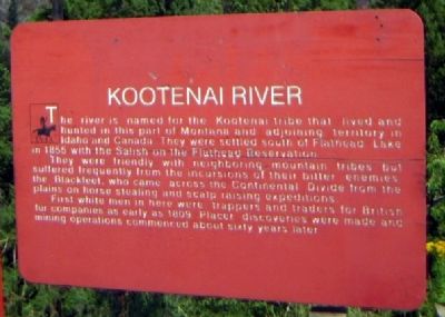
Kootenai River
They were friendly with neighboring mountain tribes but suffered frequently from the incursions of their bitter enemies the Blackfeet, who came across the Continental Divide from the plains on horse stealing and scalp raising expeditions.
First white men in here were trappers and traders for British fur companies as early as 1809. Placer discoveries were made and mining operations commenced about sixty years later.
Topics. This historical marker is listed in these topic lists: Industry & Commerce • Native Americans. A significant historical year for this entry is 1855.
Location. 48° 27.168′ N, 115° 46.19′ W. Marker is near Troy, Montana, in Lincoln County. Marker can be reached from U.S. 2, 4 miles east of Montana Highway 56, on the right when traveling west. Touch for map. Marker is in this post office area: Troy MT 59935, United States of America. Touch for directions.
Other nearby markers. At least 2 other markers are within walking distance of this marker. Kootenai River Waterfowl Home and Highway (a few steps from this marker); Kootenai Falls People and History (within shouting distance of this marker).
Additional commentary.
1. Hike from Marker to Kootenai River
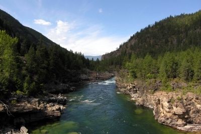
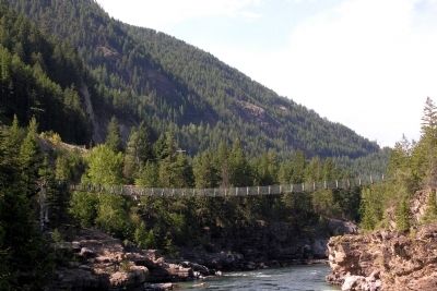
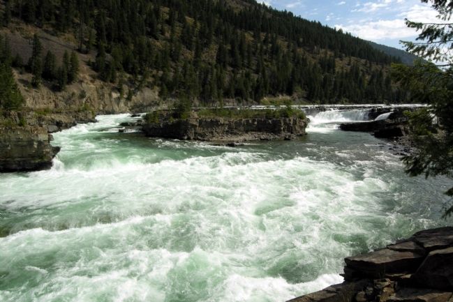
The Kootenai River, swing bridge, and Kootenai Falls are accessible from the marker by a hiking trail. The hike starts just east of the marker, and it is less than a mile to these features.
— Submitted January 29, 2014.
Credits. This page was last revised on June 16, 2016. It was originally submitted on January 29, 2014, by Duane Hall of Abilene, Texas. This page has been viewed 884 times since then and 39 times this year. Photos: 1, 2, 3, 4. submitted on January 29, 2014, by Duane Hall of Abilene, Texas.
Editor’s want-list for this marker. Photograph with wide-view of marker. • Can you help?


