Shonto in Navajo County, Arizona — The American Mountains (Southwest)
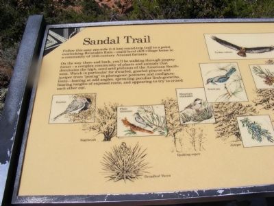
Sandal Trail
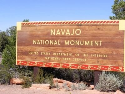
Navajo National Monument
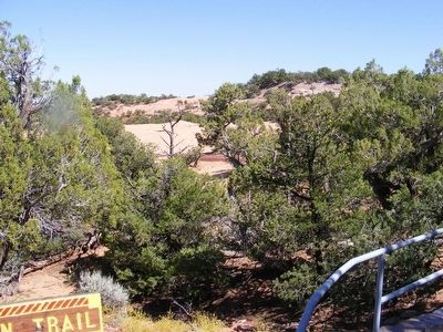
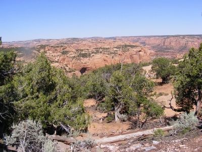
On the way there and back, you’ll be walking through pygmy forest—a complex community of plants and animals that dominates the high, semi-arid plateaus of the American Southwest. Watch in particular for dwarfed, gnarled pinyon and juniper trees “posing” in photogenic postures and configurations—leaning at odd angles, sprouting peculiar limb-growths, bearing tangles of exposed roots, and appearing to try to crowd each other out.
Erected by National Park Service-United States Department of the Interior.
Topics. This historical marker is listed in these topic lists: Anthropology & Archaeology • Native Americans.
Location. 36° 40.716′ N, 110° 32.478′ W. Marker is in Shonto, Arizona, in Navajo County. Marker is on Arizona Route 564. The marker is near the Navajo National Monument Visitor Center. Touch for map. Marker is in this post office area: Shonto AZ 86054, United States of America. Touch for directions.
Other nearby markers. At least 8 other markers are within walking distance of this marker. Wagon (a few steps from this marker); Hogan (a few steps from this marker); Sweathouse (a few steps from this marker); Big Sagebrush (a few steps from this marker); Dinosaur Footprint (within shouting distance of this marker); The Pygmy Conifer Forest - An Indian Store (within shouting distance of this marker); Upside-down Mountain (within shouting distance of this marker); Canyons in Time (within shouting distance of this marker). Touch for a list and map of all markers in Shonto.
Credits. This page was last revised on June 16, 2016. It was originally submitted on January 30, 2014, by Don Morfe of Baltimore, Maryland. This page has been viewed 574 times since then and 17 times this year. Photos: 1, 2, 3, 4, 5, 6. submitted on January 30, 2014, by Don Morfe of Baltimore, Maryland. • Bill Pfingsten was the editor who published this page.
