Near Shorterville in Henry County, Alabama — The American South (East South Central)
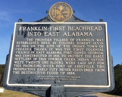
Franklin - First Beachhead into East Alabama
Inscription.
The frontier village of Franklin was established here by Colonel Robert Irwin in 1814 on the site of the Indian town of Cheeska Talofa. It was the first colonial village in east Alabama. Fort Gaines, Georgia, was constructed in 1816 to protect the early settlers in this former Creek Indian Nation, West. Twenty-one blocks were laid off for this promising river port of Abbeville. This prospective early city never recovered from the destructive flood of 1888.
Erected 1978 by the Historic Chattahoochee Commission and the Henry County Historical Society.
Topics. This historical marker is listed in these topic lists: Colonial Era • Forts and Castles • Native Americans • Settlements & Settlers. A significant historical year for this entry is 1814.
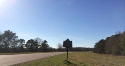
Location. 31° 36.259′ N, 85° 3.603′ W. Marker is near Shorterville, Alabama, in Henry County. Marker is on Hartford Road (Alabama Route 10) 0.6 miles east of County Road 46, on the left when traveling east. Touch for map. Marker is in this post office area: Shorterville AL 36373, United States of America. Touch for directions.
Other nearby markers. At least 8 other markers are within walking distance of this marker. Chattahoochee River Crossing (within shouting distance of this marker); Fort Gaines (approx. 0.3 miles away in Georgia); The 1836 Fort (approx. 0.3 miles away in Georgia); The Old Lattice Bridge (approx. 0.3 miles away in Georgia); In the Confederacy (approx. 0.3 miles away in Georgia); Old Pioneer Cemetery (approx. half a mile away in Georgia); Site of the First Clay County Courthouse and Jail (approx. 0.6 miles away in Georgia); Fort Gaines Guards (approx. 0.7 miles away in Georgia).
Credits. This page was last revised on June 16, 2016. It was originally submitted on February 17, 2014, by Mark Hilton of Montgomery, Alabama. This page has been viewed 990 times since then and 45 times this year. Photos: 1, 2. submitted on February 18, 2014, by Mark Hilton of Montgomery, Alabama. • Bernard Fisher was the editor who published this page.

