Near Salem in Limestone County, Alabama — The American South (East South Central)
Dupree Cemetery
Limestone County
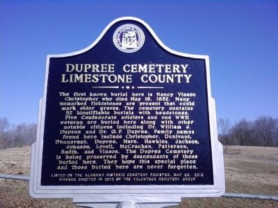
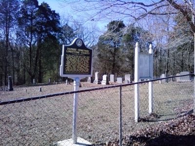
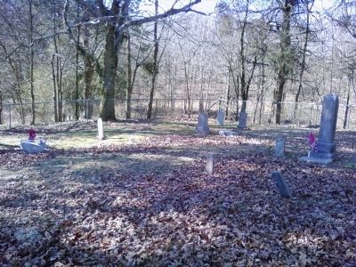
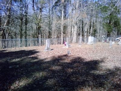
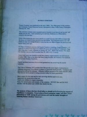
The first known burial here is Nancy Vinson Christopher who died May 16, 1852. Many unmarked fieldstones are present that could mark older graves. The cemetery contains 52 identifiable burials with headstones. Five Confederate soldiers and one WWII veteran are buried here along with other notable citizens including Dr. William J. Dupree and Dr. O.P. Dupree. Family names found here include Christopher, Dunivant, Dunnavant, Dupree, Hare, Hawkins, Jackson, Johnson, Lovell, McCracken, Patterson, Smith, and Vinson. The Dupree Cemetery is being preserved by descendants of those buried here. They hope this special place and those buried here are never forgotten.
Listed on the Alabama Historic Cemetery Register, May 23, 2012
Erected 2012 by the Volunteer Cemetery Group.
Topics. This historical marker is listed in these topic lists: Cemeteries & Burial Sites • Settlements & Settlers • War, US Civil • War, World II. A significant historical month for this entry is May 1873.
Location. 34° 55.749′ N, 87° 5.698′ W. Marker is near Salem, Alabama, in Limestone County. Marker can be reached from Dupree Hollow Road (County Route 37) 1.4 miles north of Buck Island Road (Alabama Route 99), on the left when traveling north. The marker and cemetery are in a field on the west side of Dupree Hollow Rd. Access is via a farm gate and dirt road. Touch for map. Marker is in this post office area: Lester AL 35647, United States of America. Touch for directions.
Other nearby markers. At least 8 other markers are within 7 miles of this marker, measured as the crow flies. Cunningham Cemetery (approx. 0.4 miles away); Sim Corder/Harrison Mill (approx. 2.1 miles away); Abner Alloway Strange, Sr. (approx. 2˝ miles away); Bethel Masonic Lodge / Bethel: Giles County, Tennessee (approx. 5.6 miles away in Tennessee); Dr. Louie Edmundson (approx. 5.6 miles away in Tennessee); Battle of Sulphur Creek Trestle (approx. 6.2 miles away); Commerce (approx. 6.9 miles away); Downtown Scenes (approx. 6.9 miles away). Touch for a list and map of all markers in Salem.
Credits. This page was last revised on June 16, 2016. It was originally submitted on February 26, 2014, by Lee Hattabaugh of Capshaw, Alabama. This page has been viewed 1,252 times since then and 44 times this year. Photos: 1, 2, 3, 4, 5, 6. submitted on February 26, 2014, by Lee Hattabaugh of Capshaw, Alabama. • Bernard Fisher was the editor who published this page.
