Alpine in Bergen County, New Jersey — The American Northeast (Mid-Atlantic)
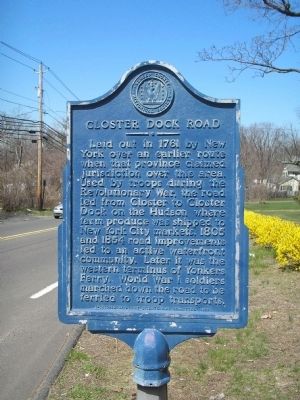
Closter Dock Road
Laid out in 1761 by New York over an earlier route when that province claimed jurisdiction over this area. Used by troops during the Revolutionary War, the road led from Closter to Closter Dock on the Hudson where farm produce was shipped to New York City markets. In 1805 and 1854 road improvements led to an active waterfront community. Later it was the western terminus of Yonkers Ferry. World War I soldiers marched down the road to be ferried to troop transports.
Sponsored by Alpine Bicentennial Committee, 1976
Erected 1976 by Bergen County Historical Society. (Marker Number 62.)
Topics and series. This historical marker is listed in these topic lists: Colonial Era • Roads & Vehicles • War, US Revolutionary • War, World I. In addition, it is included in the New Jersey, Bergen County Historical Society series list. A significant historical year for this entry is 1761.
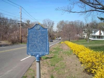
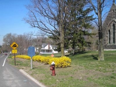
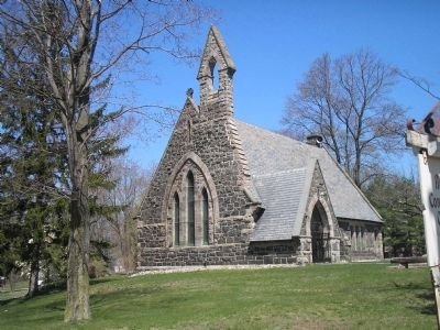
Location. 40° 56.881′ N, 73° 55.556′ W. Marker is in Alpine, New Jersey, in Bergen County. Marker is at the intersection of Closter Dock Road (County Route 502) and Old Dock Road, on the right when traveling west on Closter Dock Road. Marker is in front of the Alpine Community Church. Touch for map. Marker is at or near this postal address: 5 Old Dock Rd, Alpine NJ 07620, United States of America. Touch for directions.
Other nearby markers. At least 8 other markers are within 2 miles of this marker, measured as the crow flies. Alpine Community Church (within shouting distance of this marker); The Old Alpine Trail (approx. 0.4 miles away); Cornwallis Headquarters (approx. 0.4 miles away); Untangling Folklore from Fact (approx. 0.4 miles away); Along the Palisades Riverfront (approx. 0.4 miles away); Rionda’s Tower (approx. 1.1 miles away); 1776: British Invasion of New Jersey (approx. 1.2 miles away); Lower Closter or New Dock (approx. 1˝ miles away). Touch for a list and map of all markers in Alpine.
Also see . . . Historic Site Markers. Bergen County Historical Society website entry (Submitted on April 18, 2008, by Bill Coughlin of Woodland Park, New Jersey.)
Credits. This page was last revised on August 30, 2021. It was originally submitted on April 18, 2008, by Bill Coughlin of Woodland Park, New Jersey. This page has been viewed 4,321 times since then and 88 times this year. Photos: 1, 2, 3, 4. submitted on April 18, 2008, by Bill Coughlin of Woodland Park, New Jersey. • Kevin W. was the editor who published this page.


