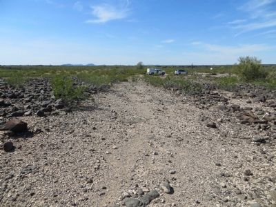
Near Sentinel in Maricopa County, Arizona — The American Mountains (Southwest)
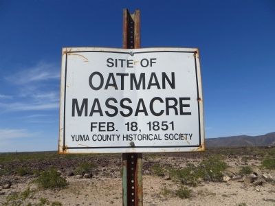
Oatman Massacre Site
Oatman
Massacre
Feb. 18, 1851
Erected by Yuma County Historical Society.
Topics. This historical marker is listed in these topic lists: Cemeteries & Burial Sites • Exploration • Native Americans • Settlements & Settlers. A significant historical month for this entry is February 2011.
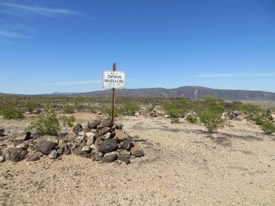
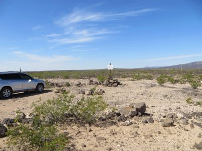
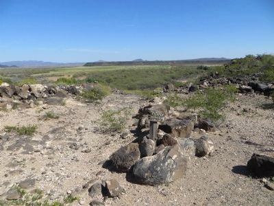
Location. 33° 0.164′ N, 113° 9.614′ W. Marker is near Sentinel, Arizona, in Maricopa County. Marker can be reached from Oatman Road, 8.8 miles north of Agua Caliente Road. On Oatman Road, follow rock cairns (piles of stacked rocks) northwest 1.5 miles to massacre site.
Note: Oatman Road is an un-maintained, primitive dirt road, passable only with high clearance or four wheel drive vehicles. Touch for map. Marker is in this post office area: Dateland AZ 85333, United States of America. Touch for directions.
Other nearby markers. At least 1 other marker is within walking distance of this marker. The Oatman Family (approx. 0.3 miles away).
Regarding Oatman Massacre Site. On March 19, 1851, Royce and Mary Ann Oatman and their seven children were part of a Mormon wagon train heading to the Arizona – California border area. They were camped on this spot when a group of Yavapai Indians approached and asked for food. Royce complied but, fearful that he wouldn't have enough for his family, refused the Yavapai's request for seconds. The family, with the exception of fifteen year old Lorenzo, fourteen year old Olive, and her younger sister Mary Ann, were brutally massacred. Lorenzo survived by playing dead, while the two girls were taken as hostages. Mary Ann died soon after, and Olive was sold to the Mohave Indians and later ransomed back into white society.
Also see . . . The Blue Tattoo: The Life of Olive Oatman (book) by Margot Mifflin. Based on historical records, including letters and diaries of Oatman’s friends and relatives, The Blue Tattoo is the first book to examine her life from her childhood in Illinois—including the massacre, her captivity, and her return to white society—to her later years as a wealthy banker’s wife in Texas. (Submitted on June 21, 2016, by Bill Kirchner of Tucson, Arizona.)
Credits. This page was last revised on August 16, 2017. It was originally submitted on March 8, 2014, by Bill Kirchner of Tucson, Arizona. This page has been viewed 7,038 times since then and 398 times this year. Photos: 1, 2, 3, 4, 5. submitted on March 8, 2014, by Bill Kirchner of Tucson, Arizona. • Syd Whittle was the editor who published this page.
