Thamesville in Chatham-Kent, Ontario — Central Canada (North America)
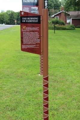
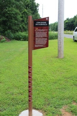
The Burning of Fairfield
— Tecumseh Parkway —
Inscription.
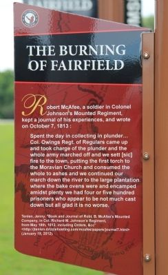
Robert McAfee, a soldier in Colonel Johnson's Mounted Regiment, kept a journal of his experiences, and wrote on October 7, 1813:
Spent the day in collecting in plunder ... Colonel Owings Regiment of Regulars came up and took charge of the plunder and the whole army marched off and we sett [sic] fire to the town, putting the first torch to the Moravian Church and consumed the whole to ashes and we continued our march down the river to the large plantation where the bake ovens were and encamped amidst plenty we had four or five hundred prisoners who appear to be much cast down but all glad it is no worse.
Tenlen, Jenny. "Book and Journal of Robert B. McAfee's Mounted Company, in Colonel Richard M. Johnson's Regiment, from May 19th, 1813, including Orders, &cc"
http://jtenlen.drizzlehosting.com/mcafee/papers/journal7.html
(January 18, 2012).
Erected by Tecumseh Parkway.
Topics. This historical marker is listed in these topic lists: Colonial Era • Native Americans • Settlements & Settlers • War of 1812. A significant historical month for this entry is May 2005.
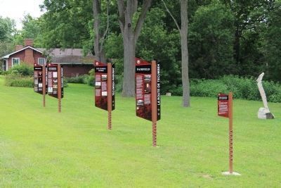
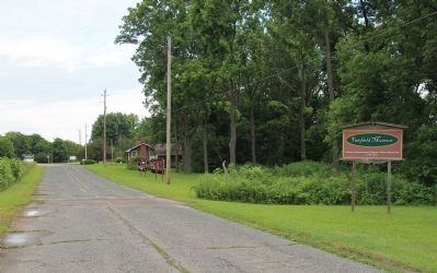
Location. 42° 35.111′ N, 81° 54.261′ W. Marker is in Thamesville, Ontario, in Chatham-Kent. Marker is on Longwoods Road (Provincial Highway 2) east of Victoria Road (Provincial Highway 21), on the right when traveling east. This historical marker is one of a series five of historical markers, that are situated just west of the Fairfield Museum, on a by-passed section of the old Longwoods Road. Touch for map. Marker is at or near this postal address: 14878 Longwoods Road, Thamesville ON N0P 1C0, Canada. Touch for directions.
Other nearby markers. At least 8 other markers are within 3 kilometers of this marker, measured as the crow flies. Fairfield (here, next to this marker); Fairfield on the Thames / The Fairfield Mission (about 150 meters away, measured in a direct line); Tecumseh (approx. 3.1 kilometers away); Battle of Moraviantown, 1813 (approx. 3.1 kilometers away); Prelude to Battle (approx. 3.1 kilometers away); Why Choose This Site? (approx. 3.1 kilometers away); Participants in the Battle of the Thames (approx. 3.1 kilometers away); a different marker also named Participants in the Battle of the Thames (approx. 3.1 kilometers away). Touch for a list and map of all markers in Thamesville.
Related markers. Click here for a list of markers that are related to this marker. To better understand the relationship, study each marker in the order shown.
Credits. This page was last revised on September 27, 2019. It was originally submitted on March 18, 2014, by Dale K. Benington of Toledo, Ohio. This page has been viewed 592 times since then and 12 times this year. Photos: 1, 2, 3, 4, 5, 6. submitted on March 19, 2014, by Dale K. Benington of Toledo, Ohio.
