Palm Coast in Flagler County, Florida — The American South (South Atlantic)
King's Road
Photographed by Cosmos Mariner, March 30, 2010
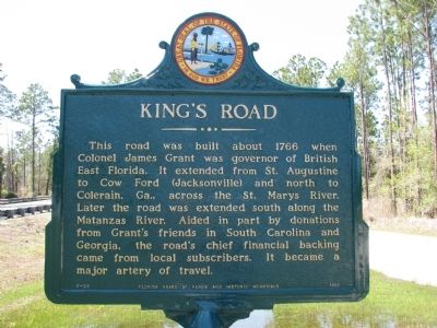
1. King's Road Marker
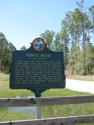
This road was built about 1766 when Colonel James Grant was governor of British East Florida. It extended from St. Augustine to Cow Ford (Jacksonville) and north to Colerain, Ga., across the St. Marys River. Later the road was extended south along the Matanzas River. Aided in part by donations from Grant’s friends in South Carolina and Georgia, the road’s chief financial backing came from local subscribers. It became a major artery of travel.
Erected 1961 by Florida Board of Parks and Historic Memorials. (Marker Number F-22.)
Topics. This historical marker is listed in these topic lists: Colonial Era • Roads & Vehicles • Settlements & Settlers. A significant historical year for this entry is 1766.
Location. 29° 38.191′ N, 81° 15.962′ W. Marker is in Palm Coast, Florida, in Flagler County. It is on North Old Kings Road 0.3 miles north of Princess Place Road, on the right when traveling north. The marker is located at the trailhead for the Pellicer Creek Conservation Area. Touch for map. Marker is in this post office area: Palm Coast FL 32137, United States of America. Touch for directions.

Regionally, this
this page online
Other nearby markers. At least 8 other markers are within 2 miles of this marker, measured as the crow flies: Sweat & Sawdust Life at the Mill (approx. 1½ miles away); a different marker also named The Kings Road (approx. 1½ miles away); The Mechanics of the Sawmill (approx. 1½ miles away); The History of Hewitt Sawmill (approx. 1½ miles away); Historical and Archaeological Sites (approx. 1.6 miles away); The Hewitt Sawmill Dam & Pond (approx. 1.6 miles away); Colonial Buildings (approx. 1.6 miles away); Colonial Road (approx. 1.6 miles away). Touch for a list and map of all markers in Palm Coast.
Photographed by Cosmos Mariner, March 30, 2010
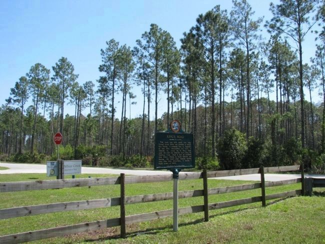
2. King's Road Marker (wide view)
Located at the Pellicer Creek Conservation Area trailhead.
Photographed by Cosmos Mariner, March 30, 2010
3. King's Road Marker
Photographed by Cosmos Mariner, March 30, 2010
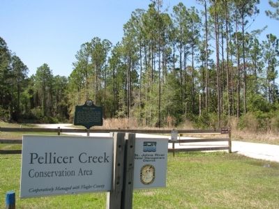
4. Pellicer Creek Conservation Area
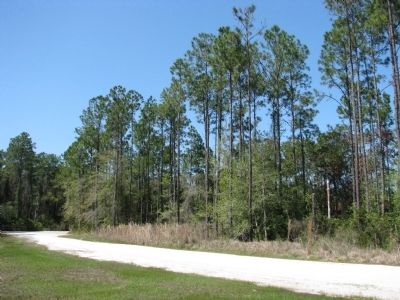
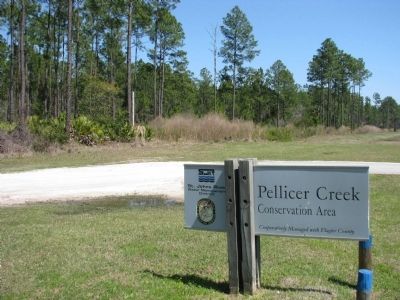
Old King's Road passes by Pellicer Creek Conservation Area just south of US Highway 1.
Photographed by Cosmos Mariner, March 30, 2010
5. Pellicer Creek Conservation Area (looking north from marker)
Photographed by Cosmos Mariner, March 30, 2010
6. Pellicer Creek Conservation Area (looking south from marker)
Credits. This page was last revised on October 15, 2020. It was originally submitted on April 3, 2014, by Cosmos Mariner of Cape Canaveral, Florida. This page has been viewed 1,181 times since then and 36 times this year. Photos: 1, 2, 3, 4, 5, 6. submitted on April 3, 2014, by Cosmos Mariner of Cape Canaveral, Florida. • Bernard Fisher was the editor who published this page.
