Brightwood in Northwest Washington in Washington, District of Columbia — The American Northeast (Mid-Atlantic)
“Get Down You Fool”
Battleground to Community
— Brightwood Heritage Trail —
Hearing those words, President Abraham Lincoln ducked down from the Fort Stevens parapet during the Civil War battle that stopped the Confederates from taking Washington.
On July 9, 1864, some 15,000 Rebels led by General Jubal A. Early defeated Union forces at the Battle of Monocacy near Frederick, Maryland. Early's troops, suffering from the battle and the summer heat, then turned south to march on the lightly defended capital city. But the Monocacy encounter and skirmishes along the Rockville Turnpike gave the Union time to regroup. On the 12th, the Union's fresh troops challenged the Rebels in a fierce but brief fight. Early's forces retreated to Virginia. The only Civil War battle fought in the District of Columbia was over.
President and Mrs. Lincoln both witnessed the afternoon battle. Eyewitness Captain Elijah Hunt Rhodes of Rhode Island recorded the scene: "....[O]n the parapet I saw President Lincoln standing looking at the troops. Mrs. Lincoln and other ladies were sitting in a carriage behind the earthworks. We marched...into a peach orchard in front of Fort Stevens and here the fight began. For a short time it was a warm work, but as the President and many ladies were looking at us, every man tried to do his best....the rebels broke and fled....A surgeon standing on the fort beside President Lincoln was wounded."
"Early should have attacked early in the morning."
Abraham Lincoln is the only serving U.S. president to have come under enemy fire.
Erected 2008 by Cultural Tourism DC. (Marker Number 16.)
Topics and series. This historical marker is listed in these topic lists: Forts and Castles • War, US Civil. In addition, it is included in the Brightwood Heritage Trail, the Defenses of Washington, and the Former U.S. Presidents: #16 Abraham Lincoln series lists. A significant historical month for this entry is July 1824.
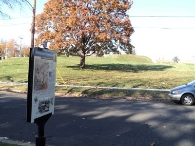
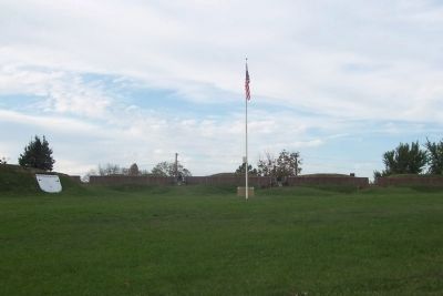
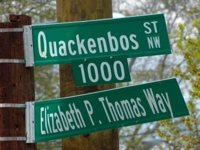
Location. 38° 57.821′ N, 77° 1.737′ W. Marker is in Northwest Washington in Washington, District of Columbia. It is in Brightwood. Marker is on Quackenbos Street Northwest east of 13th Street Northwest, on the left when traveling west. Marker is on Quakenbros Street, west of Georgia Avenue (U.S. Rte 29), just east of 13th Street, NW, and across the street from Fort Stevens. Touch for map. Marker is at or near this postal address: 6001 13th Street Northwest, Washington DC 20011, United States of America. Touch for directions.
Other nearby markers. At least 8 other markers are within walking distance of this marker. Fort Stevens (within shouting distance of this marker); Aunt Betty's Story (within shouting distance of this marker); a different marker also named Fort Stevens (about 300 feet away, measured in a direct line); Scale Model of Fort Stevens
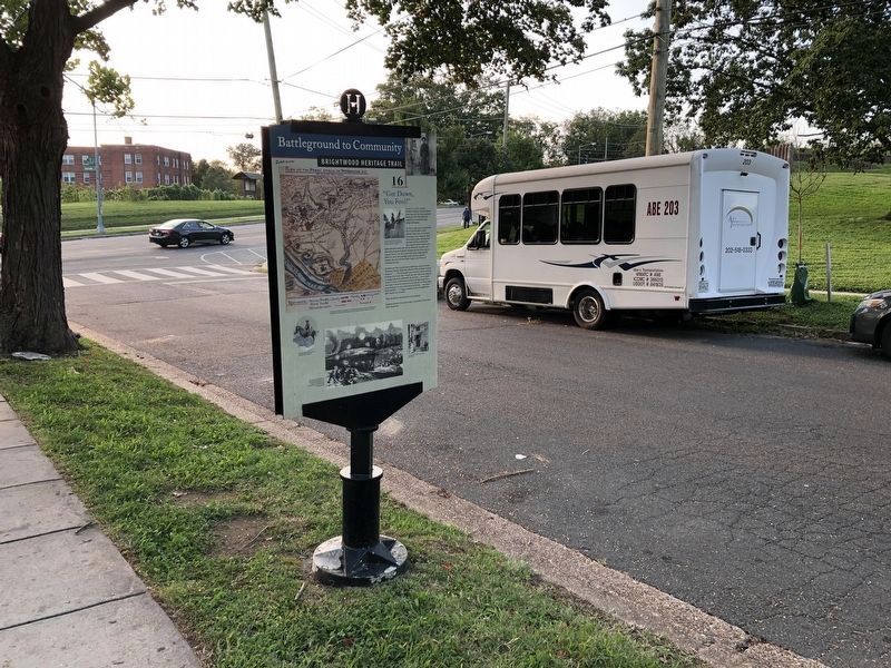
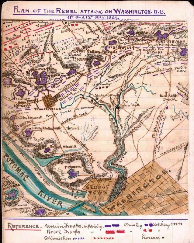
More about this marker. In the upper left is a map titled Plan of Rebel Attack on Washington, D.C., with the caption, Shortly after the Battle of Fort Stevens, U.S. Army Topographic Engineer Robert K. Sneden drew this somewhat inaccurate map of the field of action which stretched from Fort DeRussy to Fort Slocum.
Beside the map is a photo of A century later, members of the Sons of Veterans re-enacted the warning during Lincoln's visit to the 1864 battle.
Below the map is a photo of Maj. Gen. Alexander M. McCook, defender of Fort Stevens, on horseback.
At the bottom left is This engraving made from an eyewitness sketch shows how close the combatants were. The casualty count for both sides was around 900.
And on the bottom right is a photo of A nearby house
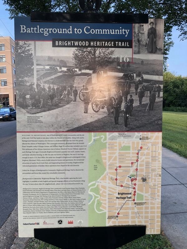
A photograph of Union soldiers at Fort Stevens appears at the top of the back of the marker. It has a caption of “Defenders of Fort Stevens in 1865, shortly after the war ended. The fort’s name honors Brig. Gen. Issac Ingalls Stevens, who died at the Battle of Chantilly.” The lower left of the marker features a map of the Brightwood Heritage Trail and indicates the location of the marker.
Library of Congress
6. Plan of the Rebel Attack
on Washington D.C.
11th and 12th July, 1864
by Robert Knox Sneden
on Washington D.C.
11th and 12th July, 1864
by Robert Knox Sneden
Shortly after the Battle of Fort Stevens, U.S. Army Topographic Engineer Robert K. Sneden drew this somewhat inaccurate map of the field of action, which stretched from Fort DeRussey to Fort Slocum.
Library of Congress, Geography and Map Division.
Library of Congress, Geography and Map Division.
Credits. This page was last revised on March 15, 2024. It was originally submitted on October 18, 2008, by Richard E. Miller of Oxon Hill, Maryland. This page has been viewed 3,850 times since then and 54 times this year. Last updated on April 6, 2014, by Allen C. Browne of Silver Spring, Maryland. Photos: 1, 2, 3. submitted on September 19, 2020, by Devry Becker Jones of Washington, District of Columbia. 4. submitted on November 13, 2011, by Bill Coughlin of Woodland Park, New Jersey. 5. submitted on October 18, 2008, by Richard E. Miller of Oxon Hill, Maryland. 6. submitted on March 15, 2024, by Allen C. Browne of Silver Spring, Maryland. 7. submitted on April 28, 2013, by Allen C. Browne of Silver Spring, Maryland. • Bill Pfingsten was the editor who published this page.

