Near Van Horn in Culberson County, Texas — The American South (West South Central)
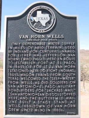
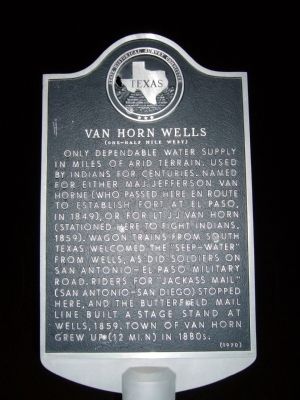
Van Horn Wells
(One-Half Mile West)
Photographed by Richard Denney, April 14, 2014
1. Van Horn Wells Marker
Erected 1970 by State Historical Survey Committee. (Marker Number 7926.)
Topics and series. This historical marker is listed in these topic lists: Indigenous Peoples and Communities • Roads & Vehicles • Settlements & Settlers. In addition, it is included in the Butterfield Overland Mail, and the San Antonio-El Paso Road series lists. A significant historical year for this entry is 1859.
Location. 30° 53.228′ N, 104° 47.457′ W. Marker is near Van Horn, Texas, in Culberson County. It is on U.S. 90 10½ miles south of Interstate 10, on the right
this page online

Regionally, this marker is in the Trans-Pecos. It is also in the American Borderlands and in the Southwest. Globally, it is in North America, a Gulf of Mexico state, the Western Hemisphere, the Western World, and the Anglosphere. Historically, it finds itself in what was once New Spain, the Republic of Texas, and one of the Confederate States of America.
Other nearby markers. At least 8 other markers are within 13 miles of this marker, measured as the crow flies: Van Horn Veterans Memorial (approx. 10.8 miles away); Clark Hotel (approx. 10.8 miles away); Original Culberson County Jail (approx. 11 miles away); Colonel David Culberson (approx. 11 miles away); Presbyterian Church (approx. 11.1 miles away); Culberson County Veterans Memorial (approx. 11.1 miles away); Van Horn Cemetery (approx. 11.4 miles away); Culberson County (approx. 12.2 miles away). Touch for a list and map of all markers in Van Horn.
Photographed by Bill Kirchner, October 22, 2012
2. Van Horn Wells Marker
Photographed by Wesley Harris, April 29, 2024
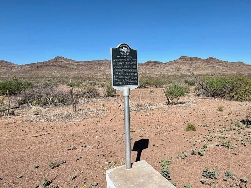
3. Van Horn Wells Marker
Photographed by Richard Denney
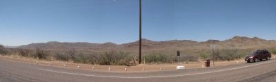
4. Van Horn Wells Marker
Panorama with marker foreground, hills in background where Van Horn Wells is located.
Credits. This page was last revised on May 11, 2024. It was originally submitted on November 2, 2012, by Bill Kirchner of Tucson, Arizona. This page has been viewed 3,730 times since then and 203 times this year. Last updated on April 28, 2014, by Richard Denney of Austin, Texas. Photos: 1. submitted on April 28, 2014, by Richard Denney of Austin, Texas. 2. submitted on November 2, 2012, by Bill Kirchner of Tucson, Arizona. 3. submitted on May 10, 2024, by Wesley Harris of Ruston, Louisiana. 4. submitted on April 28, 2014, by Richard Denney of Austin, Texas. • Bill Pfingsten was the editor who published this page.
