Pecos in Reeves County, Texas — The American South (West South Central)
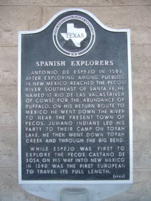
Spanish Explorers
While Espejo was first to explore the Pecos, Castano de Sosa, on his way into New Mexico in 1590, was the first European to travel its full length.
Erected 1966 by State Historical Survey Committee. (Marker Number 4998.)
Topics and series. This historical marker is listed in these topic lists: Exploration • Hispanic Americans • Native Americans. In addition, it is included in the Antonio de Espejo Entrada of 1582-1583 series list. A significant historical year for this entry is 1583.
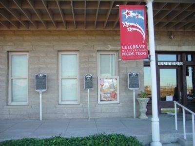
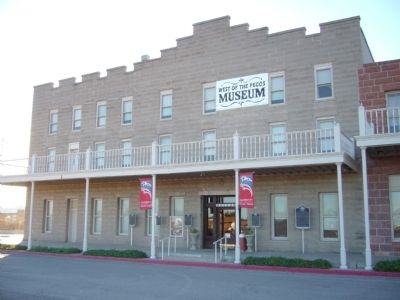
Location. 31° 25.659′ N, 103° 29.729′ W. Marker is in Pecos, Texas, in Reeves County. Marker is at the intersection of East 1st Street and South Cedar Street (U.S. 285), on the left when traveling west on East 1st Street. Marker is in front of West of the Pecos Museum. Touch for map. Marker is at or near this postal address: 120 East 1st Street, Pecos TX 79772, United States of America. Touch for directions.
Other nearby markers. At least 8 other markers are within walking distance of this marker. Mrs. Lillie W. Cole (here, next to this marker); Emigrants' Crossing (here, next to this marker); Reeves County-Pecos, Texas (here, next to this marker); The Pecos Cantaloupe (here, next to this marker); Orient Hotel (a few steps from this marker); Pecos, Texas (within shouting distance of this marker); George R. Reeves (approx. ¼ mile away); Reeves County World War II Memorial (approx. ¼ mile away). Touch for a list and map of all markers in Pecos.
Credits. This page was last revised on June 16, 2016. It was originally submitted on November 21, 2012, by Bill Kirchner of Tucson, Arizona. This page has been viewed 623 times since then and 24 times this year. Last updated on April 28, 2014, by Richard Denney of Austin, Texas. Photos: 1, 2, 3. submitted on November 21, 2012, by Bill Kirchner of Tucson, Arizona. 4. submitted on April 30, 2014, by Richard Denney of Austin, Texas. • Bill Pfingsten was the editor who published this page.


