Hope in Bonner County, Idaho — The American West (Mountains)
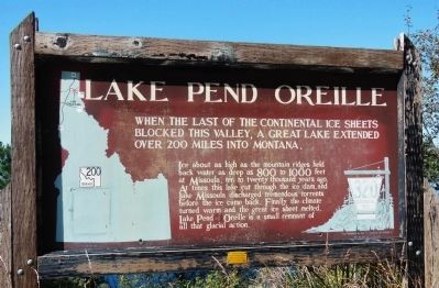
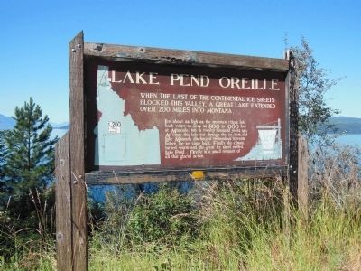
Lake Pend Oreille
Ice about as high as the mountain ridges held back water as deep as 800 to 1000 feet at Missoula, ten to twenty thousand years ago. At times this lake cut through the ice dam, and Lake Missoula discharged tremendous torrents before the ice came back. Finally the climate turned warm and the great ice sheet melted. Lake Pend Oreille is a small remnant of all that glacial action.
Erected by The Idaho Historical Society. (Marker Number 320.)
Topics and series. This historical marker is listed in these topic lists: Environment • Waterways & Vessels. In addition, it is included in the Idaho State Historical Society series list.
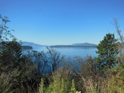
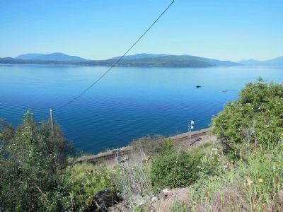
Location. 48° 15.414′ N, 116° 19.487′ W. Marker is in Hope, Idaho, in Bonner County. Marker is on State Highway 200, on the right when traveling south. Marker is near the south edge of an Idaho Route 200 pullout, overlooking the referenced lake, about one mile north of Hope, Idaho. Touch for map. Marker is in this post office area: Hope ID 83836, United States of America. Touch for directions.
Other nearby markers. At least 5 other markers are within 4 miles of this marker, measured as the crow flies. Glacial Lake Missoula (within shouting distance of this marker); Glacial Ice Dam (within shouting distance of this marker); Hope & East Hope (approx. 1.4 miles away); David Thompson & Finnan MacDonald (approx. 1.4 miles away); Kullyspell House (approx. 3.7 miles away).
More about this marker. This is a large wooden marker.
Also see . . . Lake Pend Oreille.
Formed by glaciers and encircled by mountain peaks and deep green forests, Lake Pend Oreille is Idaho's largest lake and one of the deepest inland lakes in North America. A renowned recreation and fishing mecca with a shoreline of 144 miles, its depth has been measured in excess of 1,170 feet. (Submitted on May 7, 2014, by Cosmos Mariner of Cape Canaveral, Florida.)
Credits. This page was last revised on April 3, 2021. It was originally submitted on May 7, 2014, by Cosmos Mariner of Cape Canaveral, Florida. This page has been viewed 668 times since then and 18 times this year. Photos: 1, 2, 3, 4. submitted on May 7, 2014, by Cosmos Mariner of Cape Canaveral, Florida. • Bill Pfingsten was the editor who published this page.


