Near Bonners Ferry in Boundary County, Idaho — The American West (Mountains)
Moyie River Canyon
[front side]
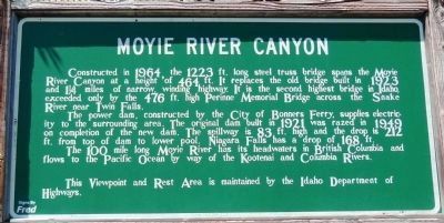
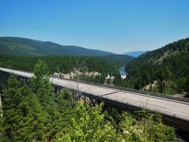
Constructed in 1964, the 1223 ft. long steel truss bridge spans the Moyie River Canyon at a height of 464 ft. It replaces the old bridge built in 1923 and 1¼ miles of narrow, winding highway. It is the second highest bridge in Idaho, exceeded only by the 476 ft. high Perinne Memorial Bridge across the snake River near Twin Falls.
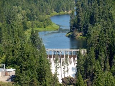
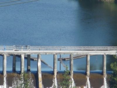
The power dam, constructed by the City of Bonners Ferry, supplies electricity to the surrounding area. The original dam built in 1921 was razed in 1949 on completion of the new dam. The spillway is 83 ft. high and the drop is 212 ft. from top of dam to lower pool. Niagara Falls has a drop of 168 ft.
The 100 mile long Moyie River has its headwaters in British Columbia and flows to the Pacific Ocean by way of the Kootenai and Columbia Rivers.
This Viewpoint and Rest Area is maintained by the Idaho Department of Highways.
[back side]
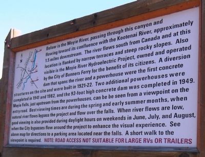
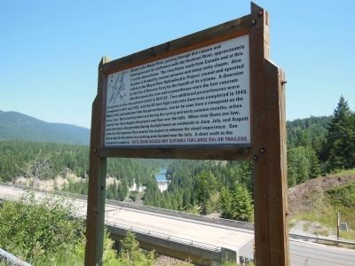
Below is the Moyie River, passing through this canyon and flowing toward its confluence with the Kootenai River, approximately 1.5 miles downstream. The river flows south from Canada and at this location is flanked by narrow terraces and steep rocky slopes. Also visible is the Moyie River Hydroelectric Project, owned and operated by the City of Bonners Ferry for the benefit of its citizens. A diversion dam that spans the river and a powerhouse were the first concrete structures on the site and were built in 1921-22. Two additional powerhouses were completed in 1941 and 1982, and the 92-foot high concrete dam was completed in 1949. Moyie Falls, just upstream from the powerhouses, can be seen from a viewpoint on the entry road. Best viewing times are during the spring and early summer months, when natural river flows bypass the project and flow over the falls. When river flows are low, good viewing is also provided during daylight hours on weekends in June, July, and August, when the City bypasses flow around the project to enhance the visual experience. See above map for directions to a parking area located near the falls. A short walk to the viewpoint is required. NOTE: ROAD ACCESS NOT SUITABLE FOR LARGE RVs OR TRAILERS
Topics. This historical marker is listed in these topic lists: Bridges & Viaducts • Natural Features • Waterways & Vessels. A significant historical year for this entry is 1964.
Location. 48° 43.631′ N, 116° 10.594′ W. Marker is near Bonners Ferry, Idaho, in Boundary County. Marker is on U.S. 2, 0.4 miles south of Old US Highway 2, on the right when traveling south. The marker is high on the hill above U.S. Highway 2 just beyond the southern end of the bridge. Touch for map. Marker is in this post office area: Bonners Ferry ID 83805, United States of America. Touch for directions.
Other nearby markers. At least 8 other markers are within 7 miles of this marker, measured as the crow flies. Semaphores (approx. 6½ miles away); A Town is Born Along the Way (approx. 6½ miles away); Great Northern Railway 1892 (approx. 6½ miles away); Kootenai Valley Railway (approx. 6½ miles away); Logging Railroads (approx. 6½ miles away); Spokane International Railway (approx. 6½ miles away); Railroad Services (approx. 6½ miles away); Railroad Laborers (approx. 6½ miles away). Touch for a list and map of all markers in Bonners Ferry.
More about this marker. Access to the marker is via a service road on the west side of U.S. Highway 2, about 2/10 mile south of the bridge.
Also see . . . Moyie River Bridge.
One of the highest deck truss bridges in the world, the Moyie River bridge is located just south of the Canadian border in the U.S. state of Idaho. Far less known than the Perrine bridge in Idaho Falls, the Moyie crossing is nearly as high at 464 feet (141 mtrs). Constructed in 1964, the current span bypassed more than a mile of twisting road that descended to the bottom of the canyon where it crossed a bridge built in 1923. The Moyie River begins in British Columbia, Canada and flows into the Kootenai before meeting the Columbia River which empties into the Pacific Ocean. (Submitted on May 7, 2014, by Cosmos Mariner of Cape Canaveral, Florida.)
Credits. This page was last revised on April 10, 2021. It was originally submitted on May 7, 2014, by Cosmos Mariner of Cape Canaveral, Florida. This page has been viewed 947 times since then and 34 times this year. Photos: 1, 2, 3, 4, 5, 6, 7. submitted on May 7, 2014, by Cosmos Mariner of Cape Canaveral, Florida. • Bill Pfingsten was the editor who published this page.
