Parkersburg in Wood County, West Virginia — The American South (Appalachia)
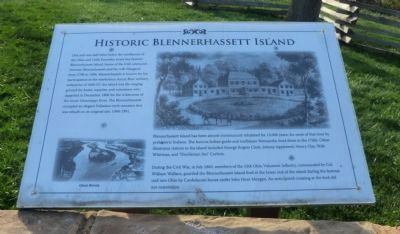
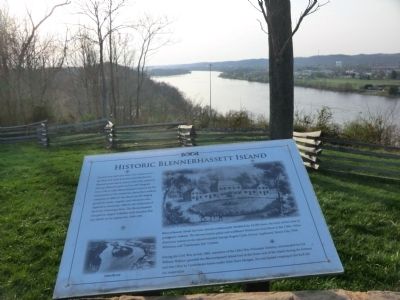
Historic Blennerhassett Island
Blennerhassett Island has been almost continuously inhabited for 13,000 years, for most of the time by prehistoric Indians. The famous Indian guide and trailblazer Nemocolin lived there in the 1760s. Other illustrious visitors to the island included George Rogers Clark, Johnny Appleseed, Henry Clay, Walt Whitman, and “Gentleman Jim” Corbet.
During the Civil War, in July 1863, members of the 15th Ohio Volunteer Infantry, commanded by Col. William Wallace, guarded the Blennerhassett Island ford at the lower end of the island during the famous raid into Ohio by Confederate forces under John Hunt Morgan. An anticipated crossing at the ford did not materialize.
Topics. This historical marker is listed in these topic lists: Anthropology & Archaeology • Native Americans • Settlements & Settlers • War, US Civil. A significant historical month for this entry is July 1863.
Location. This marker has been replaced by another marker nearby. It was located near 39° 15.758′ N, 81° 34.176′ W. Marker was in Parkersburg, West Virginia, in Wood County. Marker was on Fort Boreman Drive, one mile south of Robert Byrd Highway (U.S. 50). The marker is located in Fort Boreman Park. Touch for map. Marker was in this post office area: Parkersburg WV 26101, United States of America. Touch for directions.
Other nearby markers. At least 8 other markers are within walking distance of this location. A different marker also named Historic Blennerhassett Island (here, next to this marker); The Beautiful Ohio River (here, next to this marker); Historic Parkersburg (West) Virginia (a few steps from this marker); Parkersburg and the Civil War (a few steps from this marker); Fort Boreman (a few steps from this marker); a different marker also named Fort Boreman (within shouting distance of this marker); William L. “Mudwall” Jackson (within shouting distance of this marker); Welcome (within shouting distance of this marker). Touch for a list and map of all markers in Parkersburg.
Related marker. Click here for another marker that is related to this marker. New Marker At This Location also titled "Historic Blennerhassett Island".
Credits. This page was last revised on January 8, 2022. It was originally submitted on May 11, 2014, by Don Morfe of Baltimore, Maryland. This page has been viewed 496 times since then and 24 times this year. Photos: 1, 2. submitted on May 11, 2014, by Don Morfe of Baltimore, Maryland. • Bernard Fisher was the editor who published this page.

