Near Melrose in Curry County, New Mexico — The American Mountains (Southwest)
Llano Estacado
Photographed by Bill Kirchner, April 29, 2014
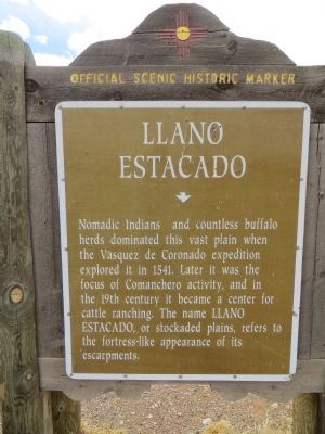
1. Llano Estacado Marker
Nomadic Indians and countless buffalo herds dominated this vast plain when the Vásquez de Coronado expedition explored it in 1541. Later it was the focus of Comanchero activity, and in the 19th century it became a center for cattle ranching. The name Llano Estacado, or stockaded plains, refers to the fortress-like appearance of its escarpments.
Erected by New Mexico Historic Preservation Division.
Topics. This historical marker is listed in these topic lists: Environment • Exploration • Indigenous Peoples and Communities. A significant historical year for this entry is 1541.
Location. 34° 25.515′ N, 103° 44.656′ W. Marker is unreadable. Marker is near Melrose, New Mexico, in Curry County. It is on U.S. 60 at milepost 357, on the right when traveling west. Touch for map. Marker is in this post office area: Melrose NM 88124, United States of America. Touch for directions.

Regionally, this marker is in Eastern New Mexico. It is also in the American Southwest, on the Great Plains, on the Southern Plains, and specifically on the High Plains. Globally, it is in North America, the Western Hemisphere, the
this page online
Other nearby markers. At least 3 other markers are within 9 miles of this location, measured as the crow flies: F-100A Super Saber (approx. 6.7 miles away); All Gave Some Some Gave All (approx. 6.7 miles away); Estella García / Fabric Artists: Women of the WPA (approx. 8.7 miles away).
Photographed by Bill Kirchner, April 29, 2014
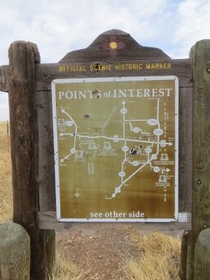
2. Back of Llano Estacado Marker
Points of Interest
New Mexico's Historic Markers typically have a map on the back side showing the location of other OSHM's. This is an excellent source of information when exploring for other Historical Markers and locations.
New Mexico's Historic Markers typically have a map on the back side showing the location of other OSHM's. This is an excellent source of information when exploring for other Historical Markers and locations.
Photographed by Bill Kirchner, April 29, 2014
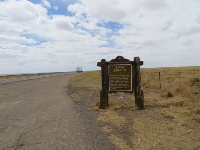
3. Llano Estacado Marker
Photographed by James Hulse, March 24, 2025
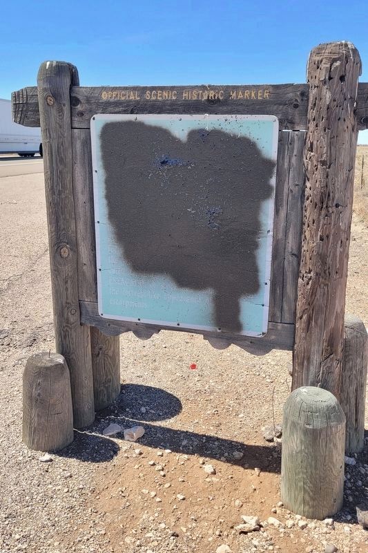
4. Llano Estacado Marker - Damaged
Credits. This page was last revised on November 21, 2025. It was originally submitted on May 14, 2014, by Bill Kirchner of Tucson, Arizona. This page has been viewed 1,718 times since then and 125 times this year. Photos: 1, 2, 3. submitted on May 14, 2014, by Bill Kirchner of Tucson, Arizona. 4. submitted on April 3, 2025, by James Hulse of Medina, Texas. • Bill Pfingsten was the editor who published this page.
