Georgetown in Meigs County, Tennessee — The American South (East South Central)
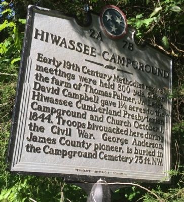
Hiwassee Campground
Erected by the Tennessee Historical Commission. (Marker Number 2A-78.)
Topics and series. This historical marker is listed in these topic lists: Cemeteries & Burial Sites • Churches & Religion • Settlements & Settlers • War, US Civil. In addition, it is included in the Tennessee Historical Commission series list. A significant historical date for this entry is October 1, 1804.
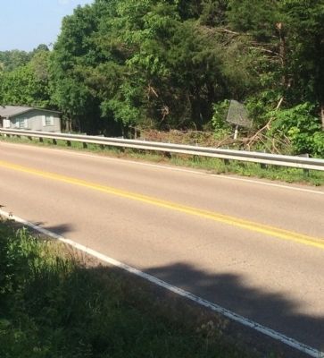
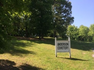
Location. 35° 18.92′ N, 84° 58.021′ W. Marker is in Georgetown, Tennessee, in Meigs County. Marker is on Tennessee Route 60, 1.3 miles north of Tennessee Route 58, on the right when traveling north. Located across the street from Anderson Cemetery behind the guardrail partially in the trees. Touch for map. Marker is at or near this postal address: 7400 Tennessee 60, Georgetown TN 37336, United States of America. Touch for directions.
Other nearby markers. At least 8 other markers are within 7 miles of this marker, measured as the crow flies. Conner Cemetery (approx. 2.8 miles away); Site of Salem Baptist Church (approx. 3.2 miles away); Dr. Luther Lee Friddell (approx. 3.3 miles away); Joseph Roark Homestead (approx. 3.4 miles away); Old Agency (approx. 5.1 miles away); Native Americans of the Hiwassee Area (approx. 6 miles away); This Venerable Oak Tree (approx. 6.4 miles away); Prelude (approx. 6.7 miles away).
Credits. This page was last revised on June 16, 2016. It was originally submitted on May 23, 2014, by Mark Hilton of Montgomery, Alabama. This page has been viewed 757 times since then and 44 times this year. Photos: 1, 2, 3, 4. submitted on May 23, 2014, by Mark Hilton of Montgomery, Alabama. • Bernard Fisher was the editor who published this page.


