Near Bath in Grafton County, New Hampshire — The American Northeast (New England)
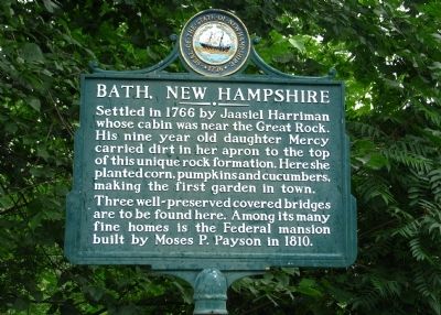
Bath, New Hampshire
Settled in 1766 by Jaasiel Harriman whose cabin was near the Great Rock. His nine year old daughter Mercy carried dirt in her apron to the top of this unique rock formation. Here she planted corn, pumpkins and cucumbers, making the first garden in town.
Three well-preserved covered bridges are to be found here. Among its many fine homes is the Federal mansion built by Moses P. Payson in 1810.
Erected 1978 by New Hampshire Division of Historical Resources. (Marker Number 121.)
Topics and series. This historical marker is listed in these topic lists: Bridges & Viaducts • Colonial Era • Man-Made Features • Settlements & Settlers. In addition, it is included in the Covered Bridges, and the New Hampshire Historical Highway Markers series lists. A significant historical year for this entry is 1766.
Location. 44° 9.577′ N, 71° 57.934′ W. Marker is near Bath, New Hampshire, in Grafton County. Marker is on Rum Hill Road (U.S. 302), on the right when traveling south. Located within a roadside rest area, on the west side of Route 302, a half-mile south of the village of Bath. Touch for map. Marker is in this post office area: Bath NH 03740, United States of America. Touch for directions.
Other nearby markers. At least 8 other markers are within 6 miles of this marker, measured as the crow flies. Bath Bridge (approx. 0.7 miles away); Haverhill-Bath Bridge (approx. 3.6 miles away); Rogers Rangers (approx. 4 miles away); Ebenezer MacKintosh (approx. 5.1 miles away); Original Site of the Village of Lisbon (approx. 5.7 miles away); Terminal Of Coos Road (approx. 5.7 miles away); Soldiers of Haverhill Memorial (approx. 5.7 miles away); Colonel Thomas Johnson (approx. 6 miles away in Vermont).
More about this marker. A footpath leads from this location to Mercy's garden.
Regarding Bath, New Hampshire. Bath contains six properties listed on the National Register, including the Bath Covered Bridge and the Swiftwater Covered Bridge, both listed in 1976, and the Haverhill-Bath Covered Bridge, listed in 1977.
Credits. This page was last revised on February 16, 2023. It was originally submitted on December 11, 2013, by Cosmos Mariner of Cape Canaveral, Florida. This page has been viewed 746 times since then and 33 times this year. Last updated on June 19, 2014, by Kevin Craft of Bedford, Quebec. Photo 1. submitted on December 11, 2013, by Cosmos Mariner of Cape Canaveral, Florida. • Bill Pfingsten was the editor who published this page.
