Near Winchester in Clark County, Kentucky — The American South (East South Central)
A Defensive Strategy
Fortifying Central Kentucky
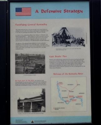
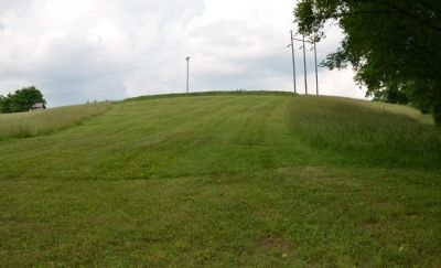
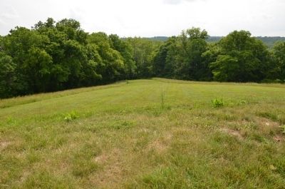
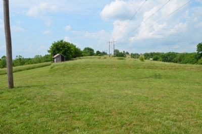
The small earthwork above was just one part of an overall defensive strategy devised by the Union army to guard against Confederate raids. It was part of a grand plan put forth by Capt. Thomas B. Brooks.
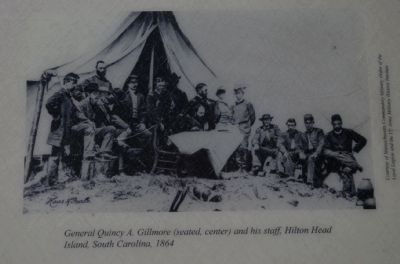
In a letter to his commanding officer, Gen. Quincy A. Gillmore, Capt. Brooks proposed that "...small defensive works be erected at the most important Fords, Ferries, Mountain Passes and Towns in this District South and East of this post [Lexington], or in other words that the present system for the defense of the Rail Road be extended southward."
The defense of the railroad Brooks alluded to was the systematic fortification of the railroad's most vulnerable spots - the bridges and trestles. Brooks envisioned a similar series of defenses for the protection of the fords, ferries, and bridges on the Kentucky River and other vulnerable areas.
Capt. Brooks' Plan
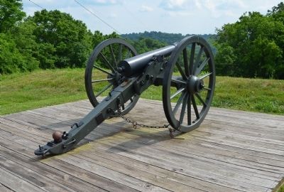
Brooks' plan called for the construction of a series of enclosed earthworks protected by stockades. Blockhouses in the center of the earthwork were designed to act as refuges in the event of an assault. Small numbers of Federal soldiers would garrison the forts. When needed, citizens and home guards would supplement the regular troops. Brooks saw these small earthworks not only as defensive positions but also as rallying points for the Union men of Kentucky.
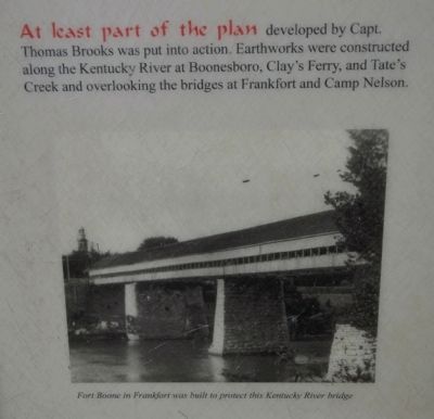
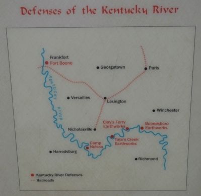
At least part of the plan developed by Capt. Thomas Brooks was put into action. Earthworks were constructed along the Kentucky River at Boonesboro, Clay's Ferry, and Tate's Creek and overlooking the bridges at Frankfort and Camp Nelson.
Erected by The Winchester/Clark County Tourism Commission.
Topics. This historical marker is listed in these topic lists: Forts and Castles • War, US Civil.
Location. 37° 53.385′ N, 84° 15.553′ W. Marker is near Winchester, Kentucky, in Clark County. Marker can be reached from Ford Road/4 Mile Road (Kentucky Route 1924) 1.2 miles south of Boonesboro Road (Kentucky Route 627), on the left when traveling south. The exhibit can be reached from the parking area on KY Route 1924. The trailhead is at the edge of the parking area here. It is a ½ mile hike up the trail to the top of the hill where the fort is. Touch for map. Marker is at or near this postal address: 1250 Ford Road, Winchester KY 40391, United States of America. Touch for directions.
Other nearby markers. At least 8 other markers are within walking distance of this marker. Thomas B. Brooks, Army Engineer (here, next to this marker); An Unrealized Plan (here, next to this marker); Common Cliffside Plants (within shouting distance of this marker); Rock and Man
(within shouting distance of this marker); Building the Earthwork (within shouting distance of this marker); The Eye of the Rich Land (within shouting distance of this marker); The Quest for Land (about 300 feet away, measured in a direct line); Inside the Earthwork (about 300 feet away). Touch for a list and map of all markers in Winchester.
More about this marker. This marker is part of the historic site known as the "Civil War Fort at Boonesboro." CAUTION: The climb up the hill is VERY steep. It involves a change in elevation of 230 feet. Not recommended for people that are not in good physical shape or condition.
Also see . . . Civil War Fort at Boonesboro. (Submitted on June 21, 2014.)
Credits. This page was last revised on September 17, 2020. It was originally submitted on June 20, 2014, by Karl Stelly of Gettysburg, Pennsylvania. This page has been viewed 558 times since then and 38 times this year. Photos: 1, 2, 3, 4, 5, 6, 7, 8. submitted on June 20, 2014, by Karl Stelly of Gettysburg, Pennsylvania. • Bernard Fisher was the editor who published this page.
