Elm Grove in Ohio County, West Virginia — The American South (Appalachia)
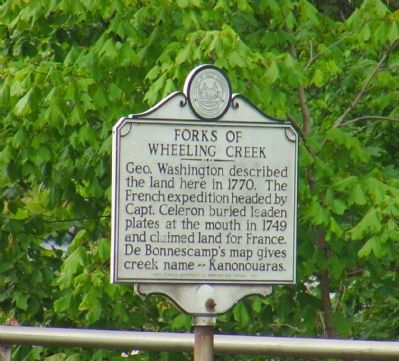
Forks of Wheeling Creek
Erected 1970 by West Virginia Department of Archives and History.
Topics and series. This historical marker is listed in these topic lists: Colonial Era • Natural Features. In addition, it is included in the West Virginia Archives and History series list. A significant historical year for this entry is 1770.
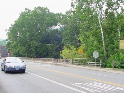
Location. 40° 2.588′ N, 80° 39.561′ W. Marker is in Elm Grove, West Virginia, in Ohio County. Marker is on Wheeling and Elm Glove Boulevard (U.S. 88) west of National Road (U.S. 40), on the right when traveling west. Marker is just beyond and visible from the intersection where the National Road makes a right to continue west. Touch for map. Marker is in this post office area: Wheeling WV 26003, United States of America. Touch for directions.
Other nearby markers. At least 5 other markers are within walking distance of this marker. “Monument Place” (within shouting distance of this marker); Osiris Temple Legion of Honor (within shouting distance of this marker); a different marker also named Monument Place (within shouting distance of this marker); Elm Grove Stone Bridge (about 300 feet away, measured in a direct line); War Memorial (about 500 feet away). Touch for a list and map of all markers in Elm Grove.
Credits. This page was last revised on February 16, 2023. It was originally submitted on December 9, 2006, by J. J. Prats of Powell, Ohio. This page has been viewed 2,264 times since then and 27 times this year. Photos: 1, 2. submitted on December 9, 2006, by J. J. Prats of Powell, Ohio.

