Near Hopwood in Fayette County, Pennsylvania — The American Northeast (Mid-Atlantic)
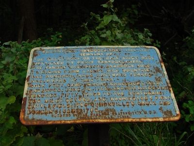
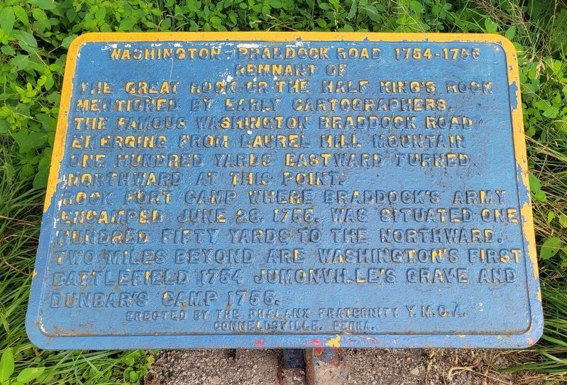
Washington–Braddock Road 1754–1756
The famous Washington-Braddock Road emerging from Laurel Hill Mountain one hundred yards eastward turned northward at this point.
Rock Fort Camp, where Braddock’s army encamped June 28, 1755, was situated one hundred fifty yards to the northward. Two miles beyond are Washington’s first battlefield, 1754, Jumonville’s grave and Dunbar’s camp 1765.
Erected by The Phalanx Fraternity Y.M.O.A., Connellsville, Penna.
Topics and series. This historical marker is listed in these topic lists: Colonial Era • Patriots & Patriotism • Roads & Vehicles • War, French and Indian. In addition, it is included in the Braddock’s Road and Maj. Gen. Edward Braddock series list. A significant historical date for this entry is June 28, 1881.
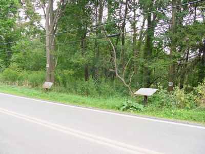
Location. 39° 51.626′ N, 79° 38.659′ W. Marker has been reported unreadable. Marker is near Hopwood, Pennsylvania, in Fayette County. Marker is on Jumonville Road (County Route 2021) 1.2 miles north of National Pike (U.S. 40), on the right when traveling north. Touch for map. Marker is in this post office area: Hopwood PA 15445, United States of America. Touch for directions.
Other nearby markers. At least 8 other markers are within 2 miles of this location, measured as the crow flies. Washington’s Spring (a few steps from this marker); History Flows Through This Land (approx. 0.9 miles away); History Flows Through These Waters (approx. 0.9 miles away); Braddock Road (approx. one mile away); Diplomats or Spies? (approx. 1.3 miles away); Surprise Attack (approx. 1.3 miles away); Washington's First Battlefield (approx. 1.3 miles away); From Jumonville to a World War (approx. 1.3 miles away). Touch for a list and map of all markers in Hopwood.
Credits. This page was last revised on July 25, 2023. It was originally submitted on August 31, 2006, by J. J. Prats of Powell, Ohio. This page has been viewed 2,834 times since then and 95 times this year. Last updated on June 29, 2014, by Jay Stern of Connellsville, Pennsylvania. Photos: 1. submitted on August 31, 2006, by J. J. Prats of Powell, Ohio. 2. submitted on July 25, 2023, by Bradley Owen of Morgantown, West Virginia. 3. submitted on August 31, 2006, by J. J. Prats of Powell, Ohio. • Bill Pfingsten was the editor who published this page.


