
Carp - Hardwood Plains in Ottawa, Ontario — Central Canada (North America)
The Central Emergency Government Headquarters
Le Siège Central du Gouvernement d'Urgence
Photographed by William Fischer, Jr., July 2, 2014
1. The Central Emergency Government Headquarters Marker
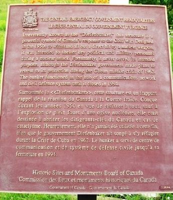
Irreverently known as the "Diefenbunker," this structure is a powerful symbol of Canada's response to the Cold War. Designed in the 1950s to withstand all but a direct hit by a nuclear weapon, it was intended to shelter key political and military personnel during a nuclear attack. Fortunately, it never served its intended purpose, although the Diefenbaker government made plans to retreat to its protection during the Cuban missile crisis of 1962. The bunker functioned as the hub of a communications network and civil defence system until it closed in 1994.
———————
Surmommée le «Diefenbunker», cette structure est un frappant rappel de la réaction du Canada à la Guerre froide. Conçue durant les années 1950 en vue de résister à tout, sauf à l'explosion de plein fouet d'une ogive nucléaire, elle était destinée à abriter les dirigeants-clés du Canada en cas de cataclysme. Heureusement, elle n'a jamais été utilisée à cette fin, bien que le gouvernement Diefenbaker ait songé à s'y réfugier durant la Crise de Cuba en 1962. Le bunker a servi de centre de communication et de système de défense civile jusqu'à sa fermeture en 1994.
Erected by Historic
this page online
Topics and series. This historical marker is listed in these topic lists: Disasters • Government & Politics • Man-Made Features • War, Cold. In addition, it is included in the Canada, Historic Sites and Monuments Board series list. A significant historical year for this entry is 1962.
Location. 45° 21.062′ N, 76° 2.849′ W. Marker is in Ottawa, Ontario. It is in Carp - Hardwood Plains. It is on Carp Road (Route 5). Touch for map. Marker is at or near this postal address: 3911 Carp Rd, Ottawa ON K0A 1L0, Canada. Touch for directions.

Regionally, this marker is in Eastern Ontario. It is also in Central Canada. Globally, it is in North America, the Western Hemisphere, the Western World, and the Anglosphere. Historically, it finds itself in what was once a British colony, the Viceroyalty of New France, the Haudenosaunee (Iroquois) Confederacy, and Rupert’s Land.
Other nearby markers. At least 8 other markers are within 21 kilometers of this marker, measured as the crow flies: Christ Church 1838 (approx. 5.6 kilometers
Photographed by William Fischer, Jr., July 2, 2014
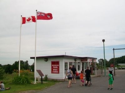
2. The Central Emergency Government Headquarters Marker
Also see . . .
1. Diefenbunker: Canada's Cold War Museum. (Submitted on July 27, 2014, by William Fischer, Jr. of Reynoldsburg, Ohio.)
2. John Diefenbaker. Wikipedia biography. (Submitted on July 30, 2020, by Larry Gertner of New York, New York.)
Photographed by William Fischer, Jr., July 2, 2014
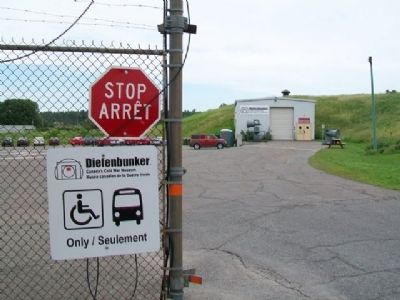
3. Gate at Outer Entrance to Diefenbunker Complex
Photographed by William Fischer, Jr., July 2, 2014
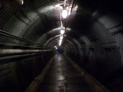
4. Entrance Tunnel to Diefenbunker
Photographed by William Fischer, Jr., July 2, 2014
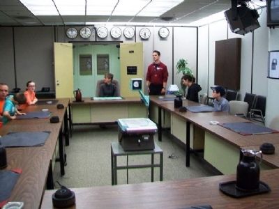
5. War Cabinet Room in the Diefenbunker
Photographed by William Fischer, Jr., July 2, 2014
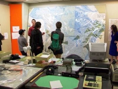
6. Situation Center at the Diefenbunker
Photographed by William Fischer, Jr., July 2, 2014
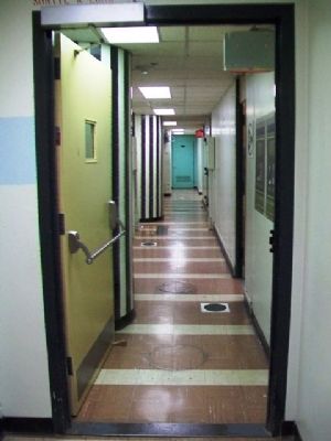
7. Diefenbunker Hallway
Photographed by William Fischer, Jr., July 2, 2014
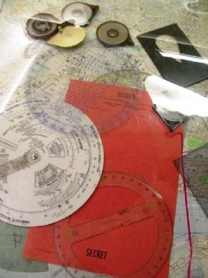
8. Situation Center NBC Tools of the Trade at the Diefenbunker
Photographed by William Fischer, Jr., July 2, 2014
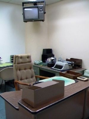
9. Prime Minister's Office at the Diefenbunker
Photographed by William Fischer, Jr., July 2, 2014
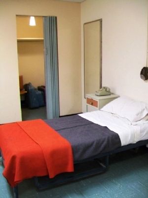
10. Prime Minister's Personal Suite at the Diefenbunker
Photographed by William Fischer, Jr., July 2, 2014
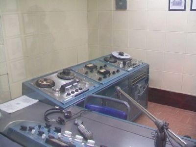
11. CBC Emergency Broadcast Studio at the Diefenbunker
Photographed by William Fischer, Jr., July 2, 2014
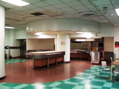
12. Diefenbunker Cafeteria
Photographed by William Fischer, Jr., July 2, 2014
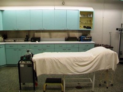
13. Diefenbunker Infirmary
Photographed by William Fischer, Jr., July 2, 2014
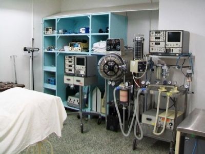
14. Diefenbunker Infirmary
Photographed by Wikipedia, 1961
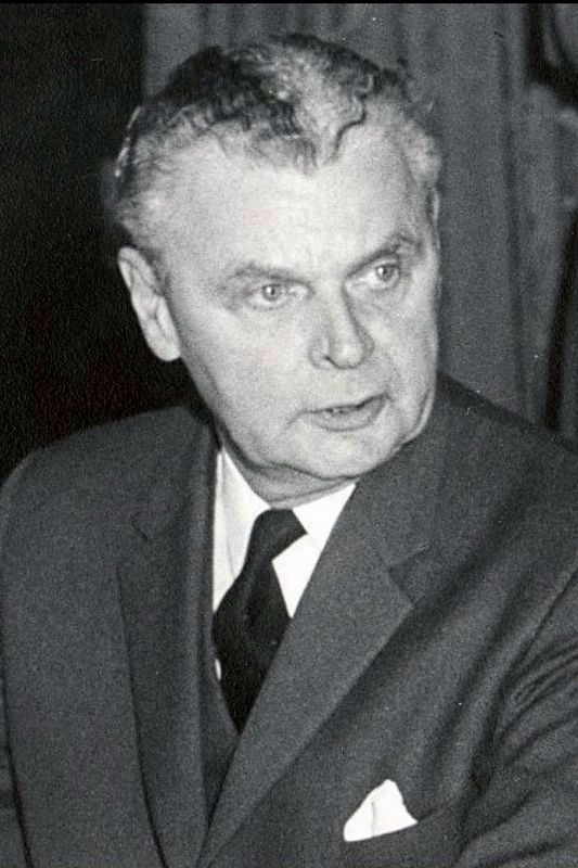
15. The Right Honourable John Diefenbaker PC CH QC FRSC FRSA
at the signing of the Columbia River Treaty, January 1961
Credits. This page was last revised on April 29, 2023. It was originally submitted on July 27, 2014, by William Fischer, Jr. of Reynoldsburg, Ohio. This page has been viewed 625 times since then and 19 times this year. Photos: 1, 2, 3, 4, 5, 6, 7, 8, 9, 10, 11, 12, 13, 14. submitted on July 27, 2014, by William Fischer, Jr. of Reynoldsburg, Ohio. 15. submitted on July 30, 2020, by Larry Gertner of New York, New York.
