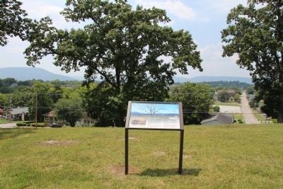
Orchard Knob in Chattanooga in Hamilton County, Tennessee — The American South (East South Central)
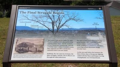
The Final Struggle Begins
Inscription.
Just before 2pm on November 23, 1863, Southern soldiers were alarmed by what unfolded before them. On the outskirts of Fort Wood and Chattanooga, upward of 20,000 Union soldiers formed in dense lines opposite just 600 Confederates stationed where you now stand.
Suddenly, the rat-a-tat-tat of drums, the blare of bugles, and the yell of officers cut through the silent afternoon.
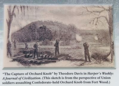
The mass of men surged forward in one grand motion. Like a great blue wave, Union soldiers crashed around the knob, sending its Confederate defenders scurrying toward Missionary Ridge (to your rear).
As the sun sank below the horizon, the first of three days of desperate fighting ended with the Stars and Stripes waving triumphantly over Orchard Knob.
Erected by Chickamauga and Chattanooga National Military Park.
Topics. This historical marker is listed in this topic list: War, US Civil. A significant historical month for this entry is November 1792.
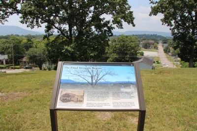
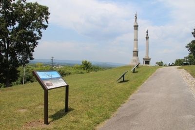
Location. 35° 2.365′ N, 85° 16.44′ W. Marker is in Chattanooga, Tennessee, in Hamilton County. It is in Orchard Knob. Marker can be reached from Orchard Knob Avenue north of Ivy Street. This historical marker is located in the middle of a residential neighborhood, in the city of Chattanooga, a little less than a mile west of Missionary Ridge. It is situated on the crest of the Orchard Knob Reservation, National Military Park and is positioned along the high ground of the pathway that leads to the crest of the hill from the park entrance at the corner of Ivy Street and Orchard Knob Avenue. Touch for map. Marker is in this post office area: Chattanooga TN 37404, United States of America. Touch for directions.
Other nearby markers. At least 8 other markers are within walking distance of this marker. Fourth Army Corps (here, next to this marker); Union Casualties (a few steps from this marker); Confederate Casualties (a few steps from this marker); New Jersey State Monument (within shouting distance of this marker); Fourteenth Army Corps (within shouting distance of this marker); Illinois State Monument (within shouting distance of this marker); Battle of Chattanooga. (within shouting distance of this marker); The State of Maryland (within shouting distance of this marker). Touch for a list and map of all markers in Chattanooga.
Credits. This page was last revised on February 7, 2023. It was originally submitted on August 16, 2014, by Dale K. Benington of Toledo, Ohio. This page has been viewed 450 times since then and 5 times this year. Photos: 1, 2, 3, 4, 5. submitted on August 16, 2014, by Dale K. Benington of Toledo, Ohio.
