Near Pawhuska in Osage County, Oklahoma — The American South (West South Central)
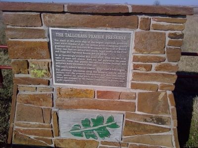
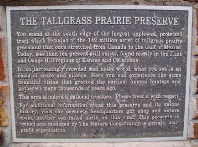
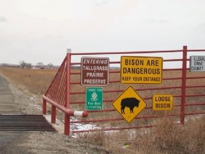
The Tallgrass Prairie Preserve
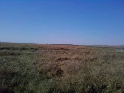
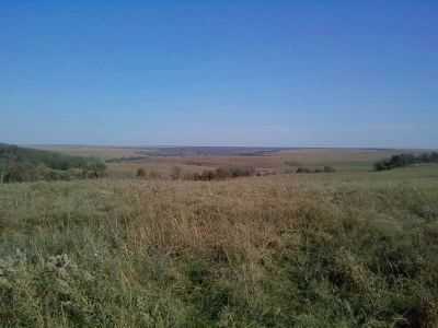
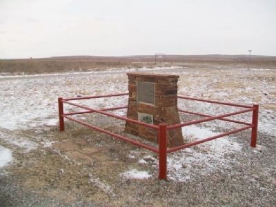
In an increasingly crowded and noisy world, what you see is an oasis of space and silence. Here you can experience the same beautiful vistas that greeted the earliest human hunters and gatherers many thousands of years ago.
The area is indeed a national treasure: Please treat it with respect.
For additional information about this preserve and its unique history, visit the preserve headquarters gift shop and nature room, another ten miles north on this road. This preserve is owned and managed by The Nature Conservancy, a private, non-profit organization.
Erected by The Nature Conservancy.
Topics. This historical marker is listed in these topic lists: Environment • Exploration • Native Americans • Settlements & Settlers.
Location. 36° 45.129′ N, 96° 21.808′ W. Marker is near Pawhuska, Oklahoma, in Osage County. Marker is at the intersection of County Route 4201 and County Route 4220, on the right when traveling north on County Route 4201. Located at the end of County 4201 where it T's with County 4220. Touch for map. Marker is in this post office area: Pawhuska OK 74056, United States of America. Touch for directions.
Other nearby markers. At least 8 other markers are within 7 miles of this marker, measured as the crow flies. Friendship Between the Osage and the Occitan of Montauban (approx. 6 miles away); Oil in the Osage Indian Nation and the "Million Dollar Elm" (approx. 6 miles away); "Million Dollar Elm" (approx. 6.1 miles away); St. Louis School (approx. 6.1 miles away); Restoring the Whiting Apartments (approx. 6.1 miles away); An Answer To Prayer (approx. 6.1 miles away); Vernon Whiting (approx. 6.1 miles away); "Osage in the Enemy Camp" (approx. 6.2 miles away). Touch for a list and map of all markers in Pawhuska.
Regarding The Tallgrass Prairie Preserve. Beautiful drive. The Tallgrass Prairie Preserve headquarters is worth a visit.
Also see . . .
1. The Tallgrass Prairie Preserve. The Nature Conservancy (Submitted on August 28, 2014.)
2. Tallgrass Prairie Preserve (Oklahoma). Wikipedia (Submitted on August 28, 2014.)
Credits. This page was last revised on September 24, 2020. It was originally submitted on August 28, 2014, by Michael Manning of Woodlawn, Tennessee. This page has been viewed 581 times since then and 19 times this year. Photos: 1. submitted on August 28, 2014, by Michael Manning of Woodlawn, Tennessee. 2. submitted on March 6, 2015, by William Fischer, Jr. of Scranton, Pennsylvania. 3, 4. submitted on August 28, 2014, by Michael Manning of Woodlawn, Tennessee. 5, 6, 7. submitted on March 6, 2015, by William Fischer, Jr. of Scranton, Pennsylvania. • Bernard Fisher was the editor who published this page.
