Linwood in Pike County, Alabama — The American South (East South Central)
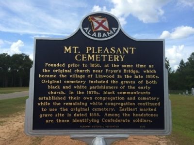
Mt. Pleasant Cemetery
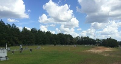
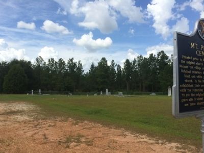
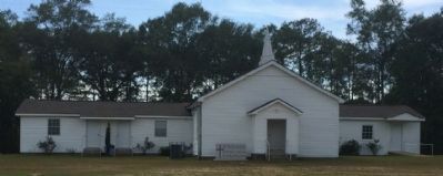
Founded prior to 1850, at the same time as the original church near Fryer's Bridge, which became the village of Linwood in the late 1850s. Original cemetery included the graves of both black and white parishioners of the early church. In the 1870s, black communicants established their own congregation and cemetery while the remaining white congregation continued to use the original cemetery. Earliest marked grave site is dated 1858. Among the headstones are those identifying Confederate soldiers.
Erected 2010 by the Alabama Historical Association.
Topics and series. This historical marker is listed in these topic lists: African Americans • Cemeteries & Burial Sites • Churches & Religion • War, US Civil. In addition, it is included in the Alabama Historical Association series list. A significant historical year for this entry is 1850.
Location. 31° 56.801′ N, 85° 52.331′ W. Marker is in Linwood, Alabama, in Pike County. Marker is at the intersection of County Road 6600 and County Road 6602, on the right when traveling north on County Road 6600. Touch for map. Marker is at or near this postal address: 5797 County Road 6600, Troy AL 36081, United States of America. Touch for directions.
Other nearby markers. At least 8 other markers are within 10 miles of this marker, measured as the crow flies. China Grove (approx. 7.1 miles away); Samuel Sellers Cemetery (approx. 7.7 miles away); Mt. Hilliard (approx. 7.9 miles away); Mt. Hilliard Methodist Church (approx. 7.9 miles away); Orion Institute (approx. 7.9 miles away); Three Notch Road (approx. 9.6 miles away); Perote Bullock County (approx. 9.8 miles away); Tuskegee Army Air Field Hangar (approx. 9.9 miles away).
Credits. This page was last revised on June 16, 2016. It was originally submitted on September 1, 2014, by Mark Hilton of Montgomery, Alabama. This page has been viewed 785 times since then and 47 times this year. Photos: 1, 2, 3, 4. submitted on September 1, 2014, by Mark Hilton of Montgomery, Alabama. • Bernard Fisher was the editor who published this page.


