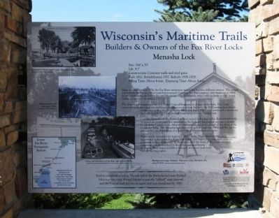
Menasha in Winnebago County, Wisconsin — The American Midwest (Great Lakes)
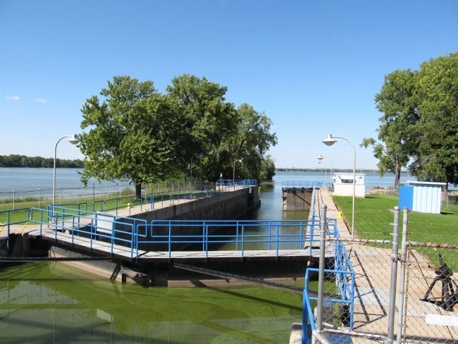
Menasha Lock
Builders and Owners of the Fox River Locks
— Wisconsin’s Maritime Trails —
Size: 144’ x 35’
Lift: 9.7’
Construction: Concrete walls and steel gates
Built 1852. Rehabilitated 1937. Rebuilt 1978-1979.
Filling Time: About 4 min. Emptying Time: About 4 min.
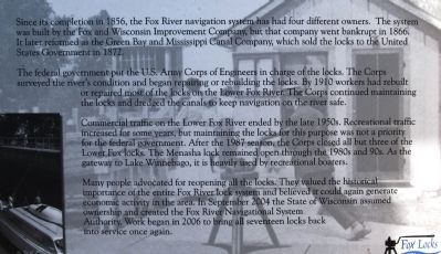
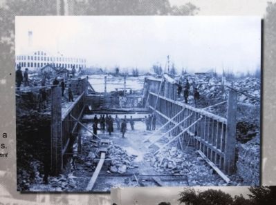
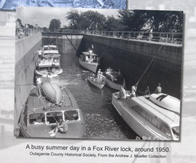
Since its completion in 1856, the Fox River navigation system has had four different owners. The system was built by the Fox and Wisconsin Improvement Company, but that company went bankrupt in 1866. It later reformed as the Green Bay and Mississippi Canal Company, which sold the locks to the United States Government in 1872.
The federal government put the U.S. Army Corps of Engineers in charge of the locks. The Corps surveyed the river’s condition and began repairing or rebuilding the locks. By 1910 workers had rebuilt or repaired most of the locks on the Lower Fox River. The Corps continued maintaining the locks and dredged the canals to keep navigation on the river safe.
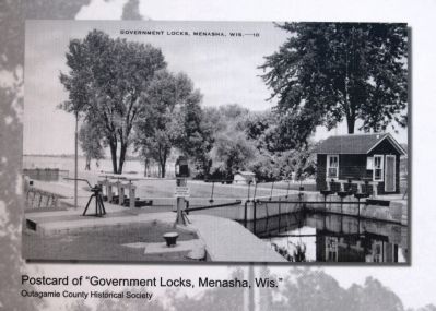
Commercial traffic on the Lower Fox River ended by the late 1950s. Recreational traffic increased for some years, but maintaining the locks for this purpose was not a priority for the federal government. After the 1987 season, the Corps closed all but three of the Lower Fox locks. The Menasha lock remained open through the 1980s and 90s. As the gateway to Lake Winnebago, it is heavily used by recreational boaters.
Many people advocated for reopening all the locks. They valued the historical importance of the entire Fox River lock system and believed it could again generate economic activity in the area. In September 2004 the State of Wisconsin assumed ownership and created the Fox River Navigational System Authority. Work began in 2006 to bring all seventeen locks back into service once again.
Settlers completed a lock at Neenah before the Menasha lock was finished. However, the route through Menasha was the “official” state channel, and the Neenah lock fell into disrepair and was abandoned by 1866.
Erected by Wisconsin Historical Society, University of Wisconsin Sea Grant Institute, Wisconsin Coastal Management Program, and National Oceanic and Atmospheric Administration.
Topics and series. This historical marker is listed in these topic lists: Man-Made Features • Waterways & Vessels. In addition, it is included in the Wisconsin’s Maritime Trails series list. A significant historical month for this entry is September 2004.
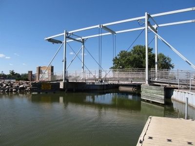
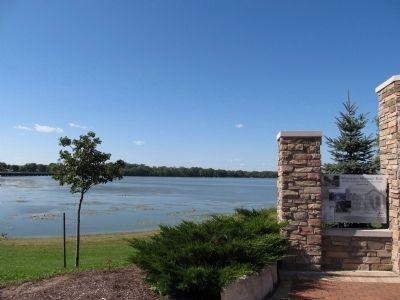
Location. 44° 12.132′ N, 88° 27.65′ W. Marker is in Menasha, Wisconsin, in Winnebago County. Marker can be reached from Broad Street, ¼ mile west of Tayco Street (Wisconsin Highway 114). Marker is located along the Friendship Trail on the west side of the Friendship Trail Bridge
at the lock. Touch for map. Marker is in this post office area: Menasha WI 54952, United States of America. Touch for directions.
Other nearby markers. At least 8 other markers are within one mile of this marker, measured as the crow flies. Fritse Park - Indian Mound Reconstruction (approx. half a mile away); Curtis Reed (approx. 0.6 miles away); Jean Nicolet Monument (approx. one mile away); 1st Sergeant Elmer J. Burr (approx. one mile away); Specialist Fourth Class Kenneth Stumpf (approx. one mile away); Menasha’s Isle of Valor (approx. one mile away); Soldiers and Sailors Memorial Building (approx. one mile away); Historic Wisconsin Avenue Commercial District (approx. one mile away). Touch for a list and map of all markers in Menasha.
Regarding Menasha Lock. Marker is part of the Wisconsin's Maritime Trails marker series.
Additional keywords. Locks, Dams
Photographed By Paul Fehrenbach, September 16, 2014
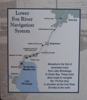
6. Inset Map Menasha Lock Marker
Lower Fox River Navigation System
Menasha is the first of seventeen locks from Lake Winnebago to Green Bay. These locks allow boats to navigate the 170-foot drop in elevation as the river flows 39 miles to the north.
Menasha is the first of seventeen locks from Lake Winnebago to Green Bay. These locks allow boats to navigate the 170-foot drop in elevation as the river flows 39 miles to the north.
Credits. This page was last revised on June 16, 2016. It was originally submitted on September 19, 2014, by Paul Fehrenbach of Germantown, Wisconsin. This page has been viewed 635 times since then and 60 times this year. Photos: 1, 2, 3, 4, 5, 6, 7, 8, 9, 10. submitted on September 19, 2014, by Paul Fehrenbach of Germantown, Wisconsin. • Andrew Ruppenstein was the editor who published this page.
