Lawrence in Douglas County, Kansas — The American Midwest (Upper Plains)
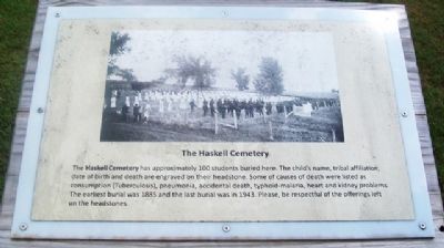
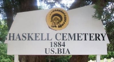
The Haskell Cemetery
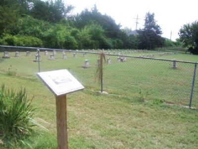
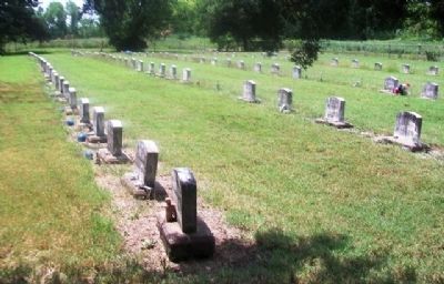
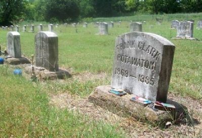
The Haskell Cemetery has approximately 100 students buried here. The child’s name, tribal affiliation, date of birth and death are engraved on their headstone. Some of causes of death were listed as consumption (Tuberculosis), pneumonia, accidental death, typhoid-malaria, heart and kidney problems. The earliest burial was 1885 and the last burial was in 1943. Please, be respectful of the offerings left on the headstones.
Erected by Haskell Indian Nations University.
Topics. This historical marker is listed in these topic lists: Cemeteries & Burial Sites • Education • Native Americans. A significant historical year for this entry is 1885.
Location. 38° 56.125′ N, 95° 13.697′ W. Marker is in Lawrence, Kansas, in Douglas County. Cemetery and marker are about 350 feet east of the intersection of Kiowa Avenue and East Perimeter Road, in the southeast portion of the Haskell University campus. Touch for map. Marker is in this post office area: Lawrence KS 66046, United States of America. Touch for directions.
Other nearby markers. At least 8 other markers are within walking distance of this marker. The Original Bandstand (approx. 0.3 miles away); Coffin Sports Complex, Tahoma, and Teacher's Quarters (approx. 0.3 miles away); Tecumseh Hall (approx. 0.3 miles away); Haskell Bandstand/Gazebo (approx. 0.3 miles away); Haskell Indian Nations University (approx. 0.3 miles away); Hiawatha Hall (approx. 0.3 miles away); Haskell Celebration 1926 (approx. 0.4 miles away); Haskell Stadium Memorial Arch (approx. 0.4 miles away). Touch for a list and map of all markers in Lawrence.
Also see . . . Haskell Indian Nations University. (Submitted on September 20, 2014, by William Fischer, Jr. of Scranton, Pennsylvania.)
Credits. This page was last revised on June 16, 2016. It was originally submitted on September 20, 2014, by William Fischer, Jr. of Scranton, Pennsylvania. This page has been viewed 599 times since then and 16 times this year. Photos: 1, 2, 3, 4, 5. submitted on September 20, 2014, by William Fischer, Jr. of Scranton, Pennsylvania.
