Near Fort Loramie in Shelby County, Ohio — The American Midwest (Great Lakes)
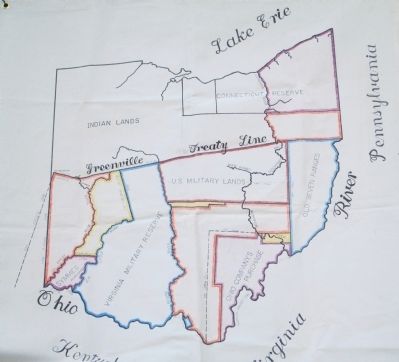
Greenville Treaty Line
the Starting Point
— the Big Sycamore Tree on Loramie Creek —
Inscription.
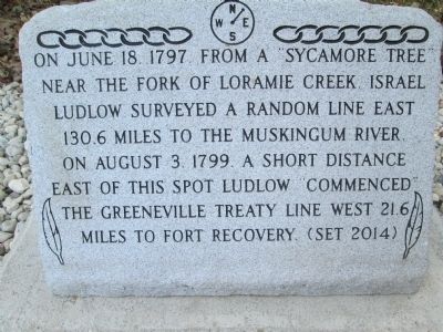
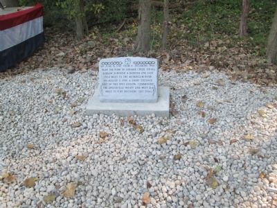
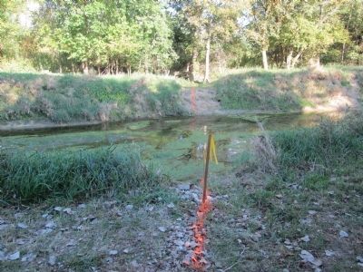
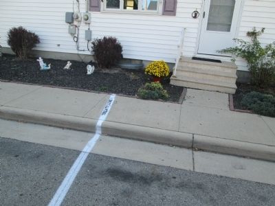
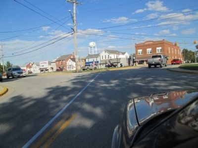
On June 18, 1797 from a sycamore tree near the fork of Loramie Creek, Israel Ludlow surveyed a random line east 130.6 miles to the Muskingum River. On August 3, 1799, a short distance east of this spot, Ludlow commenced the Greenville Treaty Line west 21.6 miles to Ft. Recovery, (set 2014)
Erected 2014 by Fort Loramie Historical Society Shelby County Historical Society.
Topics. This historical marker is listed in these topic lists: Native Americans • Settlements & Settlers. A significant historical month for this entry is June 1803.
Location. 40° 20.672′ N, 84° 22.866′ W. Marker is near Fort Loramie, Ohio, in Shelby County. marker is in deep woods, along Loramie Creek at Mile creek, Access is on private farm lanes and pastures at the Ken Gigandet farm, 2638 St Rt 705 just west of Fort Loramie. Farm road runs south off of the state highway between a corn field and the farm buildings. It turns east then back south to a woodline along the creek bank. Touch for map. Marker is at or near this postal address: 2638 St Rt 705, Fort Loramie OH 45845, United States of America. Touch for directions.
Other nearby markers. At least 8 other markers are within 3 miles of this marker, measured as the crow flies. Veterans Memorial (approx. 0.4 miles away); Miami Erie Canal Mile Stone (approx. half a mile away); Miami and Erie Canal (approx. half a mile away); Greene Ville Treaty Line (approx. half a mile away); Fort Loramie Veterans Monument (approx. 0.6 miles away); Pioneer Portage (approx. 0.6 miles away); Fort Loramie (approx. 1.2 miles away); Minster (approx. 2.7 miles away). Touch for a list and map of all markers in Fort Loramie.
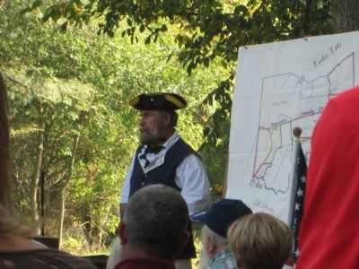
More about this marker. At this point, the marker is on private property, but Boy Scout Troop 355, and Cub Scout Pack 355 have cleared a path, and landscaped the area. I can only assume that some type of easement will be provided in the future.
Related marker. Click here for another marker that is related to this marker. The Grenville Line markers
Also see . . . Treaty of Greeneville (1795). Ohio History Central website entry (Submitted on July 16, 2022, by Larry Gertner of New York, New York.)
Additional keywords. Israel Ludlow
Credits. This page was last revised on July 16, 2022. It was originally submitted on September 28, 2014, by Rev. Ronald Irick of West Liberty, Ohio. This page has been viewed 1,285 times since then and 63 times this year. Photos: 1, 2, 3, 4, 5, 6, 7, 8. submitted on September 28, 2014, by Rev. Ronald Irick of West Liberty, Ohio. • Al Wolf was the editor who published this page.
