
Woodland Park in Passaic County, New Jersey — The American Northeast (Mid-Atlantic)
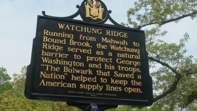
Watchung Ridge
Photographed by Michael La Place
1. Watchung Ridge Marker
Erected 2013 by Passaic County Board of Chosen Freeholders.
Topics. This historical marker is listed in these topic lists: Colonial Era • Environment • War, US Revolutionary.
Location. 40° 54.009′ N, 74° 10.476′ W. Marker is in Woodland Park, New Jersey, in Passaic County. It is on Benson Drive, Garret Mountain Reservation. Marker is one of two(2)identical markers. This one is on Benson Drive in Garret Mountain Reservation, near the Observatory Tower, a.k.a Lambert Tower. The second one is in nearby Rifle Camp Park (Passaic County) at the circle terminus of the park road near the nature center. Touch for map. Marker is in this post office area: Little Falls NJ 07424, United States of America. Touch for directions.

Regionally, this marker is in New Jersey’s North Jersey, in Greater Newark, and in the New York City Metropolitan Area. It is
this page online
Other nearby markers. At least 8 other markers are within walking distance of this marker: Lambert Tower (here, next to this marker); In Memory Of Robert Dix Benson (approx. 0.4 miles away); Garret Mountain Reservation (approx. 0.4 miles away); St. John's Cathedral (approx. 0.9 miles away); Paterson Diocese Veterans Memorial (approx. 0.9 miles away); Most Rev. Thomas H. McLaughlin (approx. 0.9 miles away); Thomas H. McLaughlin S.T.D., L.L.D. (approx. 0.9 miles away); Rogers Millwright Shop (approx. 0.9 miles away).
Photographed by Michael La Place
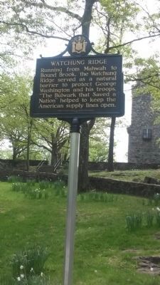
2. Watchung Ridge Marker
Photographed by Michael La Place
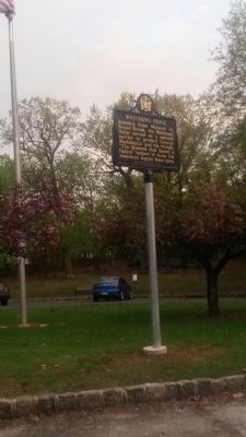
3. Watchung Ridge Marker
Marker in Rifle Camp Park.
Credits. This page was last revised on June 16, 2016. It was originally submitted on October 7, 2014, by Michael La Place of Westfield, New Jersey. This page has been viewed 884 times since then and 37 times this year. Photos: 1, 2, 3. submitted on October 7, 2014, by Michael La Place of Westfield, New Jersey. • Bill Pfingsten was the editor who published this page.
